San Francisco → Houston · 20 Dec 2026 – 4 Jan 2027

The Marco & Jasmine Odyssey II

Our own car this time. Sixteen days down the California coast and across the Southwest to Houston, where the car goes onto a truck and we get onto a plane. Two of us, fifteen nights, four states, no driving day much over four hours, a swing north through Sedona and Santa Fe for the red rocks, the galleries and a day on skis — and coffee with whoever we know along the way.

Nights
15
Stops
12
States
4
Drive
2,750mi
Driving
~43h
Per drive day
~3h 20m
Cash, planned
$5.5–6k
After savings
$4.3–5k
Route map, San Francisco to Houston A driving route from San Francisco down the California coast to San Diego, east through Palm Desert, Scottsdale, Sedona, the Grand Canyon and Flagstaff, across New Mexico via Gallup and Santa Fe, then down through Amarillo, Abilene and Austin to Houston. Circles mark the twelve stops, sized by number of nights. ARIZ.COLO.OKLA.TEXASN.M.CALIF.UTAHNEV.LA. Grand CanyonPetrified ForestBig SurSki Santa FePalo Duro San Francisco · startHouston · ship the car CarmelSanta BarbaraSan DiegoPalm DesertScottsdaleSedonaFlagstaffGallupSanta FeAmarilloAbileneAustin
one night two nights drive out-and-back Circle area is proportional to nights. Hollow rings are stops on the way, not overnights.

The route

Twelve stops and 93 photographs. Three rest days — Dec 23 in San Diego, Dec 25 in Palm Desert, Dec 31 in Santa Fe — and a four-hour ceiling on every driving day, which is what turns a 2,000-mile drive into a holiday. Two panhandle legs run about fifteen minutes over; there is nowhere better to stop.

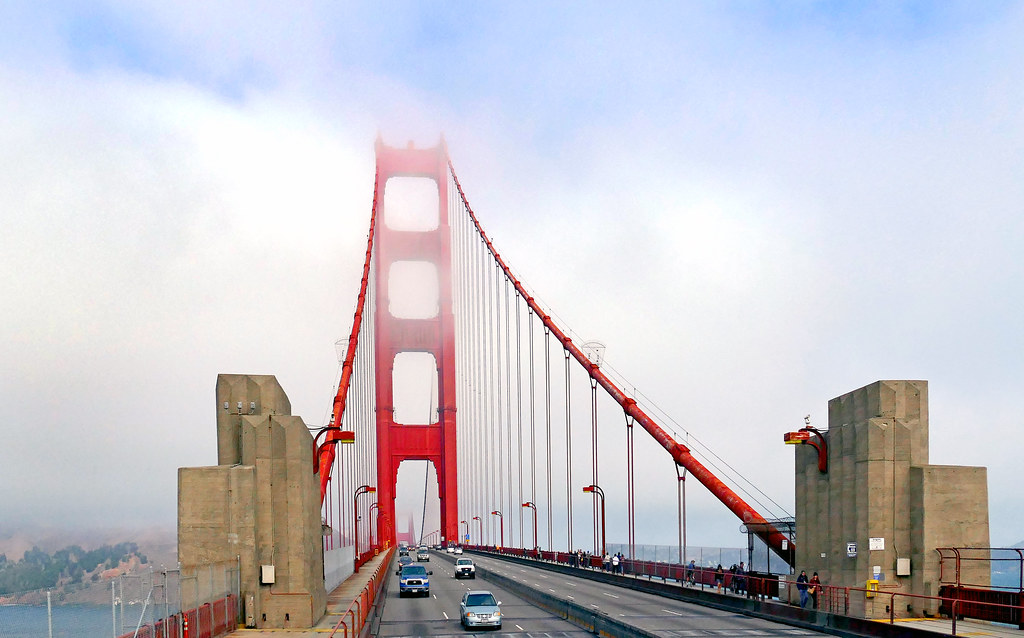
The Golden Gate in fog — Carmel-by-the-Sea
The Golden Gate in fog
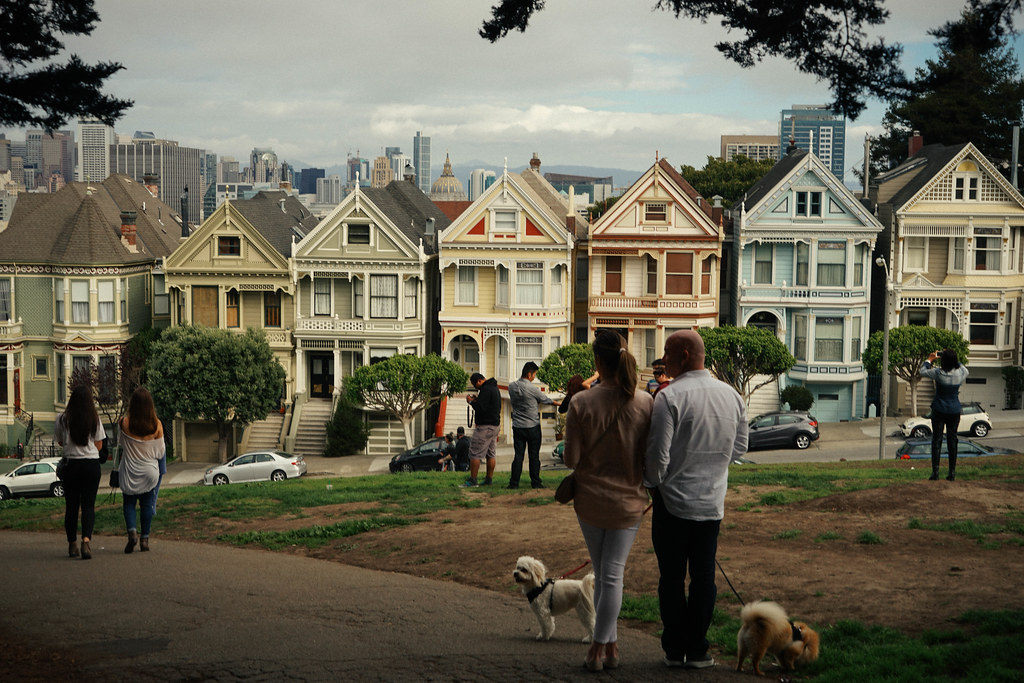
Painted Ladies, Alamo Square — Carmel-by-the-Sea
Painted Ladies, Alamo Square
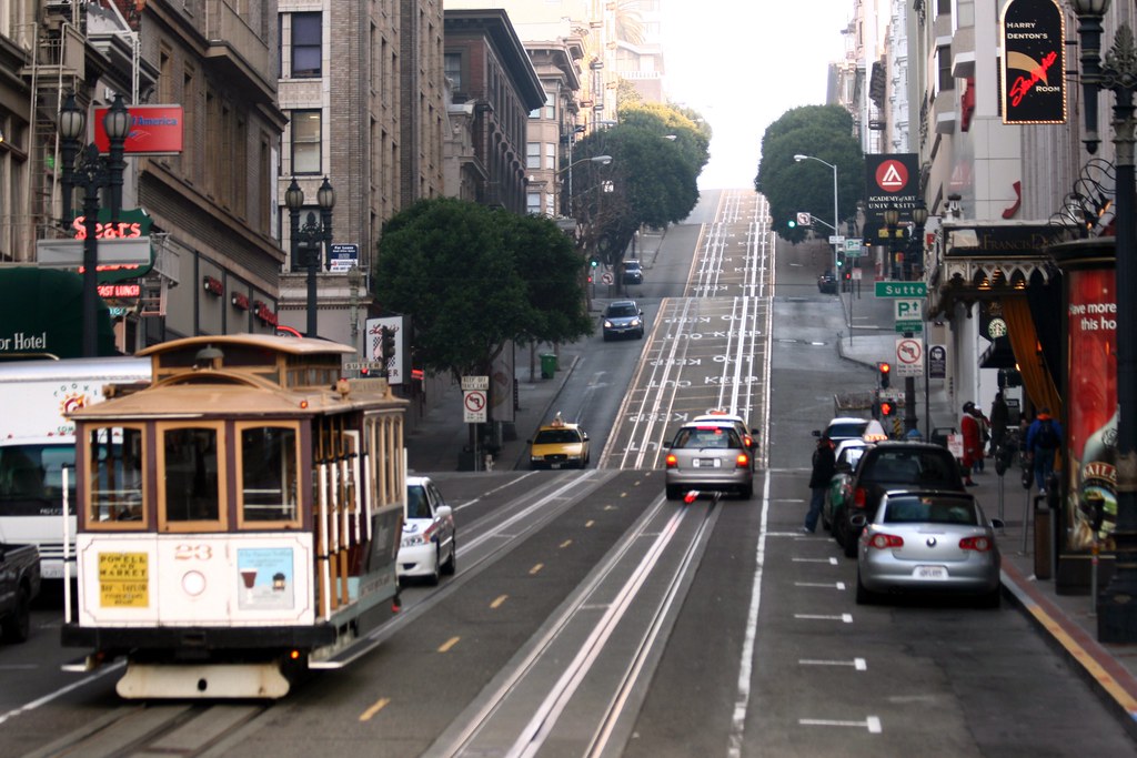
A cable car on the hill — Carmel-by-the-Sea
A cable car on the hill
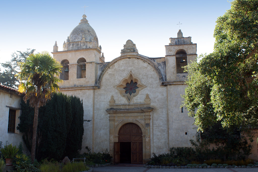
Carmel Mission — Carmel-by-the-Sea
Carmel Mission
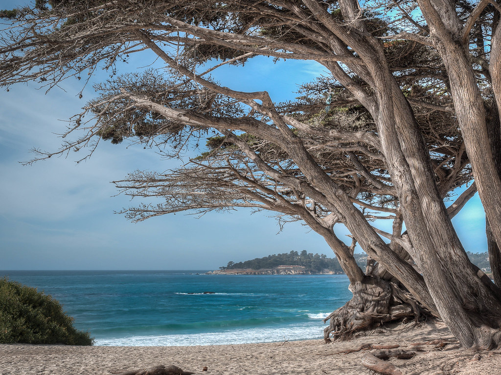
Cypress over Carmel Bay — Carmel-by-the-Sea
Cypress over Carmel Bay
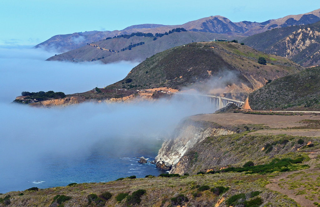
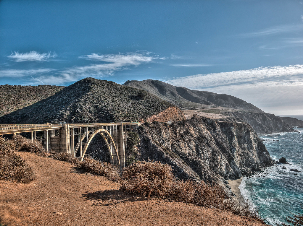
Highway 1 at Bixby Creek — Carmel-by-the-Sea
Highway 1 at Bixby Creek
Bixby Creek Bridge — Carmel-by-the-Sea
Bixby Creek Bridge
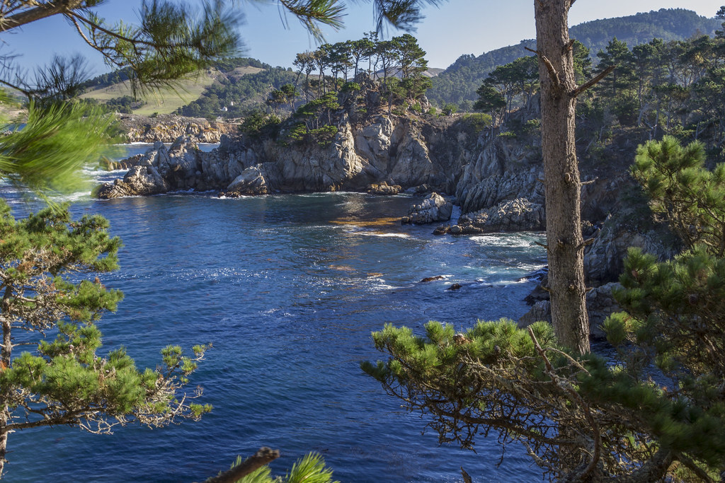
Point Lobos — Carmel-by-the-Sea
Point Lobos
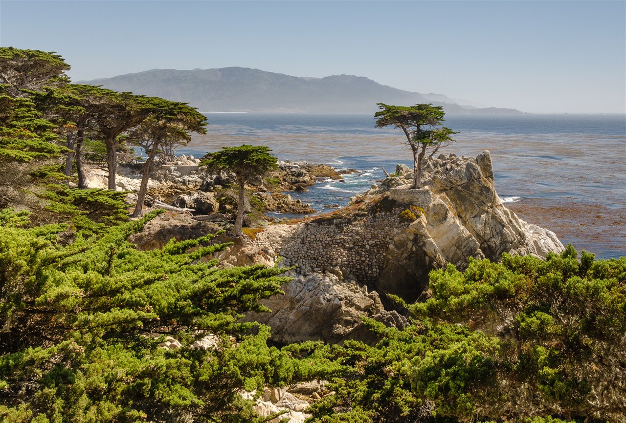
The Lone Cypress, 17-Mile Drive — Carmel-by-the-Sea
The Lone Cypress, 17-Mile Drive
1 / 9
Leave early

01 Sun 20 Dec · California

Carmel-by-the-Sea

2h 15m south from San Francisco•1 night

US-101 to Salinas, then CA-68 over to the coast

Out of the city by nine, on Carmel Beach by lunch. The afternoon is Big Sur: down Highway 1 to Bixby Bridge and back before the light goes.

What to see

  • Big Sur, out and backHighway 1 south to Bixby Creek Bridge is 30 minutes; Point Lobos and Garrapata are on the way. Turn around by 3:30 — sunset is 4:55.
  • Point LobosTwo miles south of town. Cypress groves, sea otters in the kelp, China Cove. The best short walks on the whole coast; $10 to park.
  • Carmel Beach at sunsetWhite sand at the foot of Ocean Avenue, dogs off-leash, everyone in town turns up for the last light.
  • Carmel Mission1771, Junípero Serra's own mission and the prettiest of the chain. Church and courtyard garden; twenty minutes, not a tour.
  • Ocean Avenue and the galleriesRoughly a hundred galleries in a one-square-mile village, plus the Hugh Comstock fairy-tale cottages on the side streets. Jasmine's kind of browsing.
  • 17-Mile DriveThe Lone Cypress and Pebble Beach. $12 at the gate, refunded if you eat at one of the Pebble Beach restaurants.

Where to stay

No Marriott in Carmel itself. Monterey Marriott, ten minutes away on points, or pay cash for character — Cypress Inn on Lincoln or La Playa Carmel. The Sunday before Christmas is soft; price cash first.

Check Caltrans QuickMap for Highway 1 before you go south of Bixby — the Big Sur coast closes for slides most winters. The route itself uses US-101 tomorrow, so a closure costs you nothing.
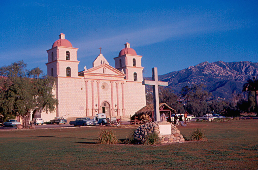
Mission Santa Barbara — Santa Barbara
Mission Santa Barbara
Red roofs from the Courthouse tower — Santa Barbara
Red roofs from the Courthouse tower
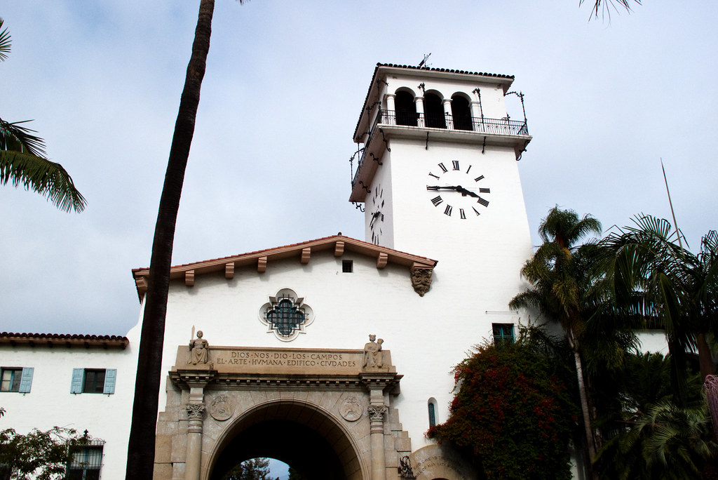
The Courthouse clock tower — Santa Barbara
The Courthouse clock tower
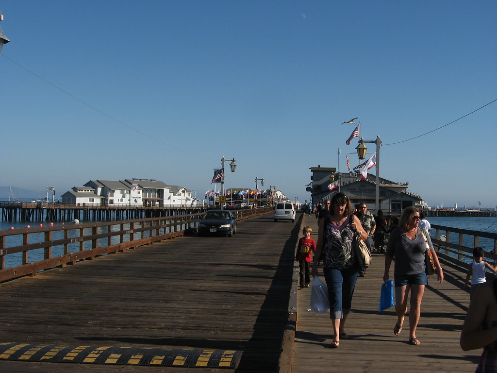
Stearns Wharf — Santa Barbara
Stearns Wharf
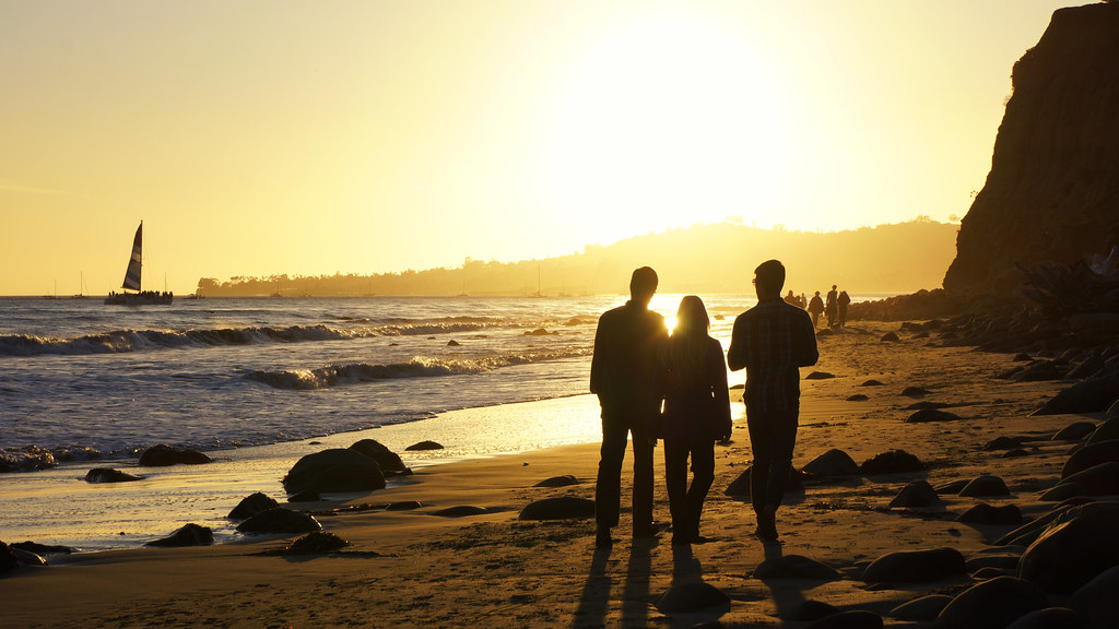
Butterfly Beach at sunset — Santa Barbara
Butterfly Beach at sunset
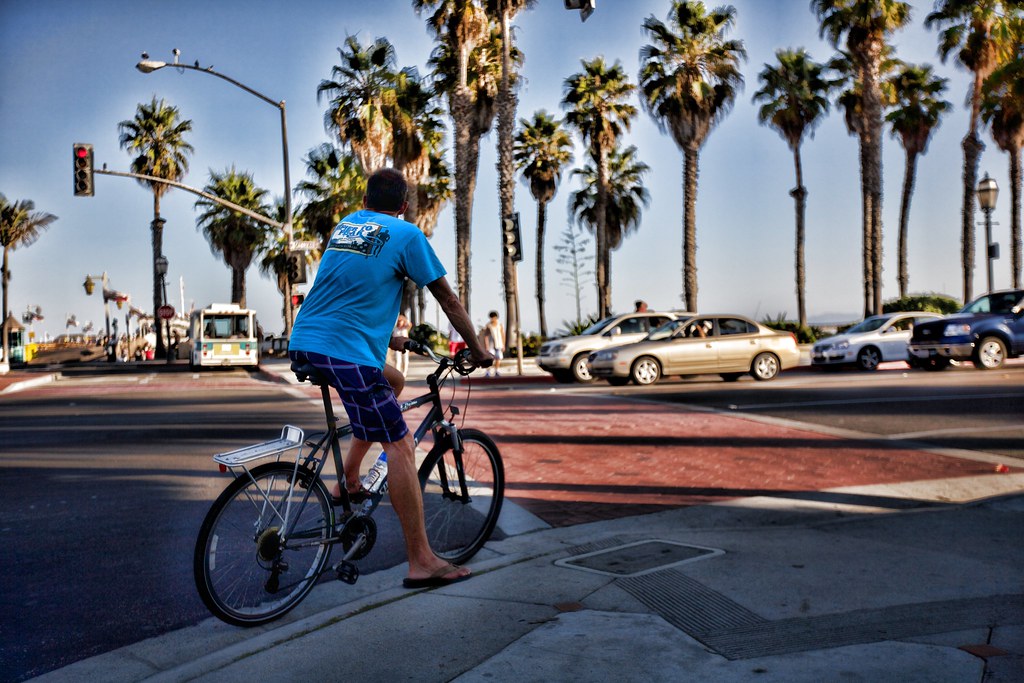
State Street palms — Santa Barbara
State Street palms
1 / 6
Red roofs

02 Mon 21 Dec · California

Santa Barbara

3h 55m south•1 night

US-101 through Paso Robles and the Gaviota coast

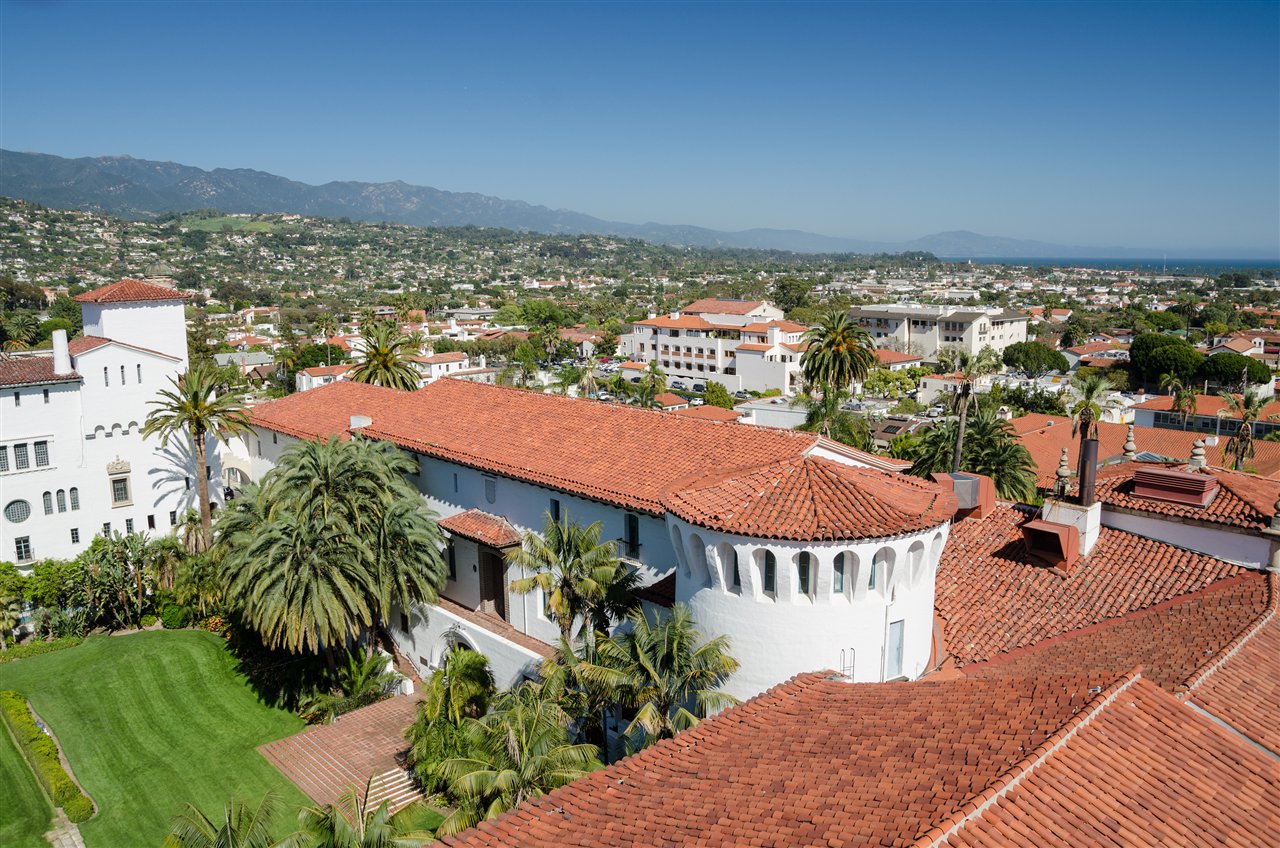
The American Riviera: red tile roofs, the mountains behind, the sea in front. Aim to arrive by two for the Courthouse tower before sunset.

What to see

  • The Courthouse clock towerFree, and the best view in town — red roofs, palms, the Santa Ynez mountains. Go 45 minutes before sunset.
  • Stearns Wharf & East BeachWalk the 1872 pier at dusk, then the beachfront palms. The wharf's sea-centre tanks are a five-minute stop, not a museum.
  • The Funk ZoneFormer warehouses between the station and the beach — a dozen wine tasting rooms, murals, and the Santa Barbara Urban Wine Trail.
  • Mission Santa BarbaraThe Queen of the Missions, 1786. The twin-towered church and the rose garden across the road; a church visit, not a tour.
  • Butterfly Beach, MontecitoThe locals' sunset beach below the Four Seasons Biltmore, ten minutes south. The wall is the seat.
  • State StreetPedestrianised from the beach up to Victoria — dinner and a walk after.

Where to stay

Ritz-Carlton Bacara, on the bluffs at Goleta, is the points splurge; Courtyard Santa Barbara Goleta is the sensible one. To be downtown on foot, Hotel Californian (cash) sits between State Street and the wharf.

Gaviota Pass on US-101 can close for wind or rock fall; if it does, US-154 over San Marcos Pass is the pretty way in anyway.

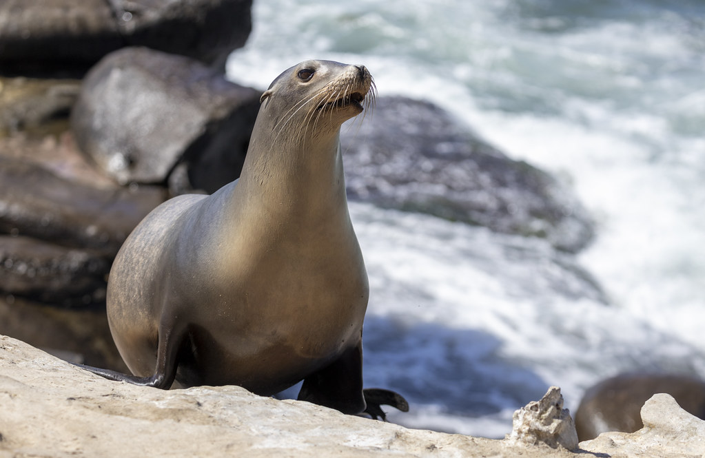
Sea lion, La Jolla Cove — San Diego
Sea lion, La Jolla Cove
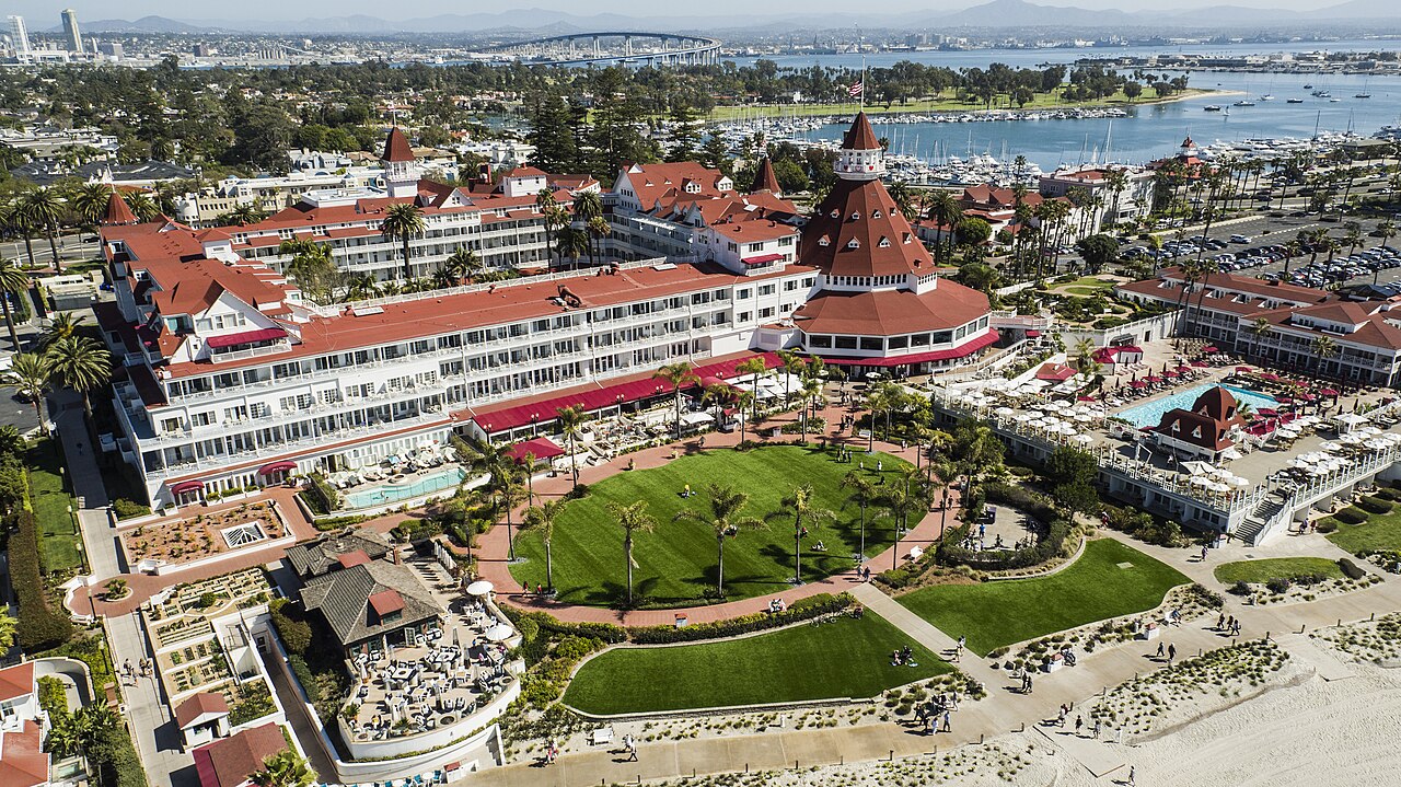
Hotel del Coronado from the air — San Diego
Hotel del Coronado from the air
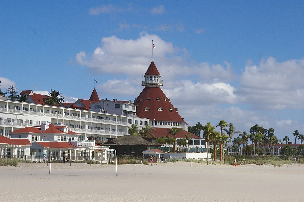
The Del from the beach — San Diego
The Del from the beach
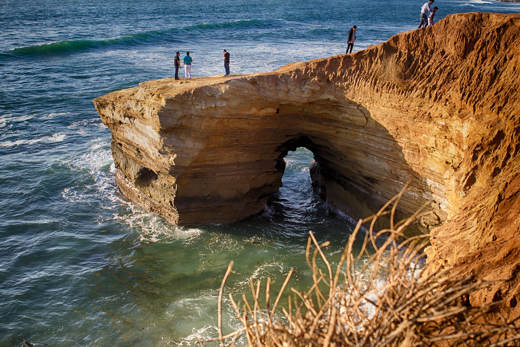
Sunset Cliffs — San Diego
Sunset Cliffs
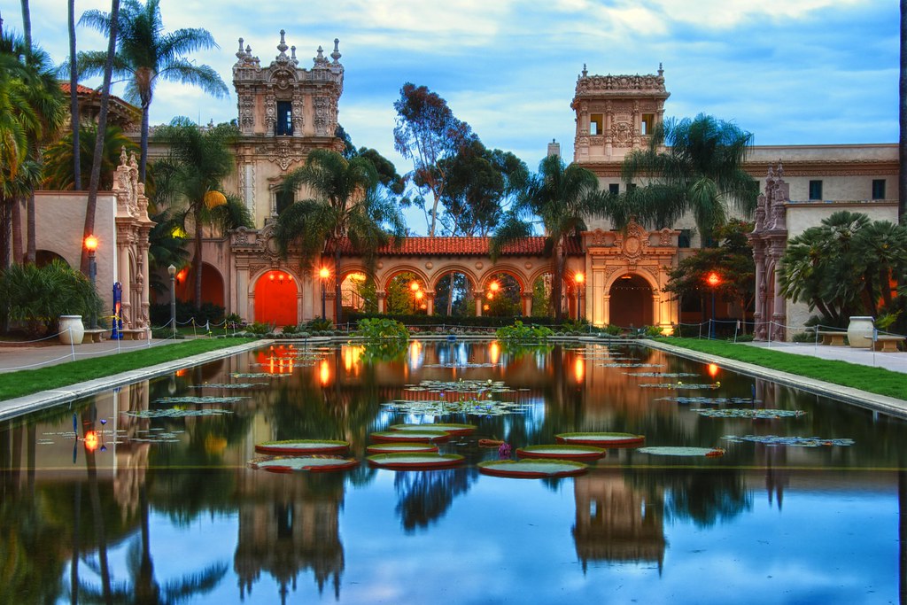
The lily pond, Balboa Park — San Diego
The lily pond, Balboa Park
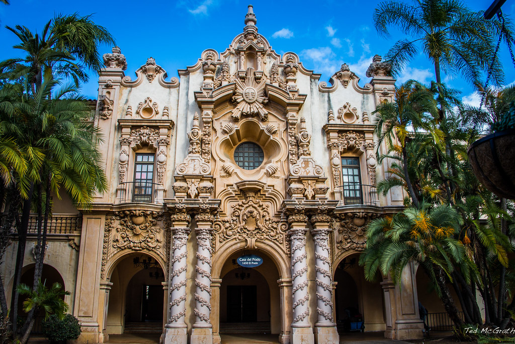
Spanish Colonial facades, Balboa Park — San Diego
Spanish Colonial facades, Balboa Park
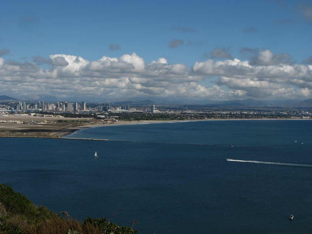
Downtown from Point Loma — San Diego
Downtown from Point Loma
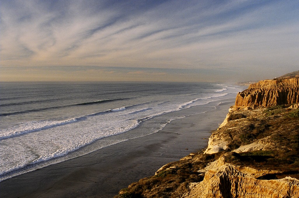
Torrey Pines — San Diego
Torrey Pines
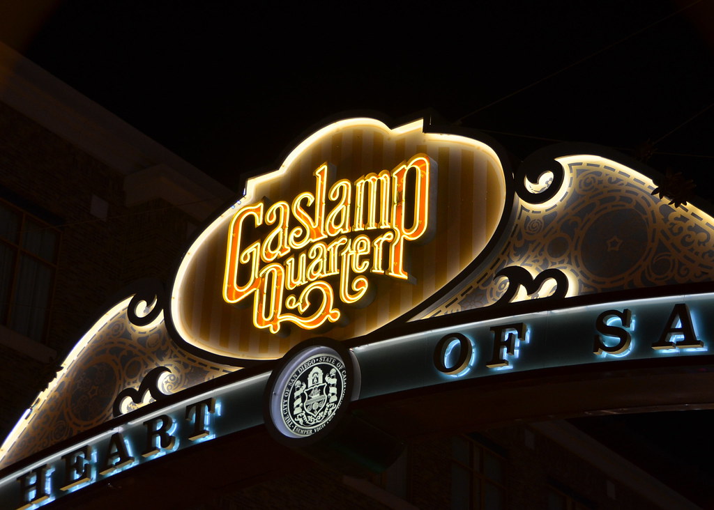
The Gaslamp Quarter sign — San Diego
The Gaslamp Quarter sign
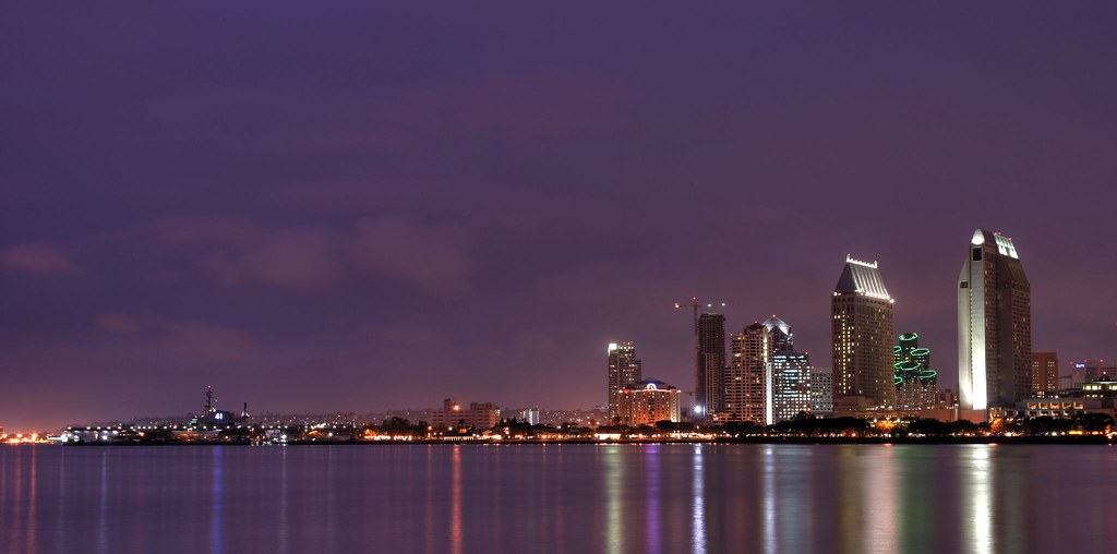
The skyline from Coronado — San Diego
The skyline from Coronado
1 / 10
Rest day · Dec 23

03 Tue 22 – Wed 23 Dec · California

San Diego

3h 45m south — through Los Angeles•2 nights

US-101, I-405 and I-5; coffee stop at home if we want it

Two nights and the first rest day. The drive crosses the whole LA basin on the Tuesday before Christmas, so it is early or it is late — not 8 to 10am.

What to see

  • La Jolla CoveSea lions and harbour seals on the rocks, the Coast Walk trail above them, and the Children's Pool. Go early before the crowd.
  • Sunset CliffsOcean Beach's sandstone cliffs and the arch at Luscomb's Point. The obvious place to paint the sunset.
  • Coronado & the DelThe 1888 Hotel del Coronado, its beach, and Skating by the Sea — the seaside ice rink runs through New Year. Ferry over from downtown.
  • Balboa Park, outdoorsSkip the museums: the Botanical Building and lily pond, the Spanish Village artists' studios, the Alcázar Garden and the Spanish Colonial facades along El Prado are the park.
  • Cabrillo National MonumentPoint Loma: the old lighthouse, the whole bay and skyline, and winter low-tide tidepools. On the annual pass.
  • Torrey PinesThe cliff-top reserve trails to the beach, 20 minutes north. Best morning walk of the two days.
  • Little Italy & the GaslampThe Wednesday Little Italy Mercato (9–1) is on the rest day; the Gaslamp sign and Fifth Avenue after dark.

Where to stay

Coronado Island Marriott Resort on points — bayside, a five-minute ferry to downtown and ten minutes to the Del. Marriott Marquis San Diego Marina is the downtown alternative. Both are peak Christmas-week redemptions, so book now.

Leave Santa Barbara by 8:30 or after 10. The Tuesday before Christmas is one of the heaviest traffic days of the year in Los Angeles.

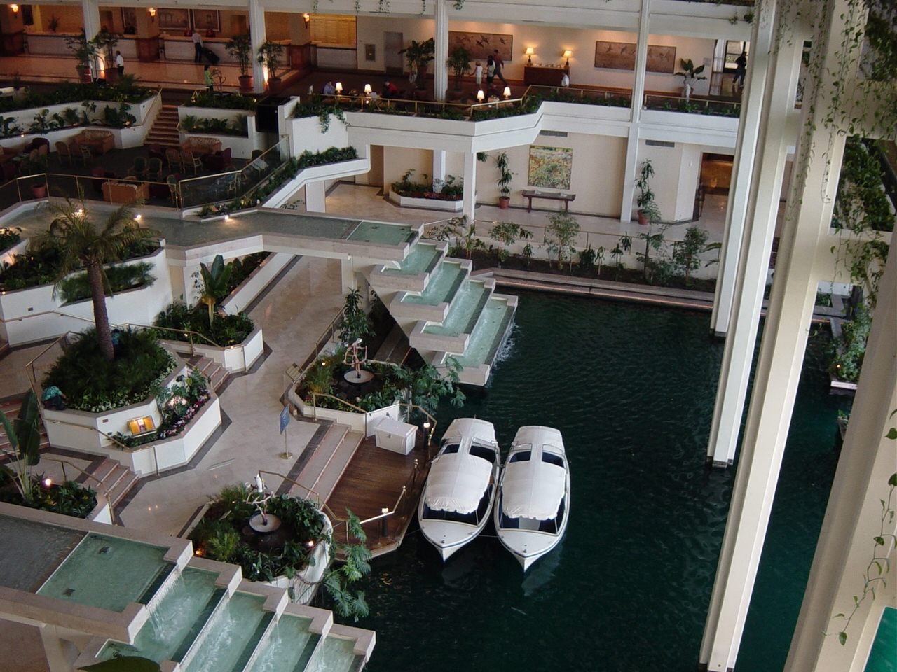
JW Marriott Desert Springs — Palm Springs / Palm Desert
JW Marriott Desert Springs
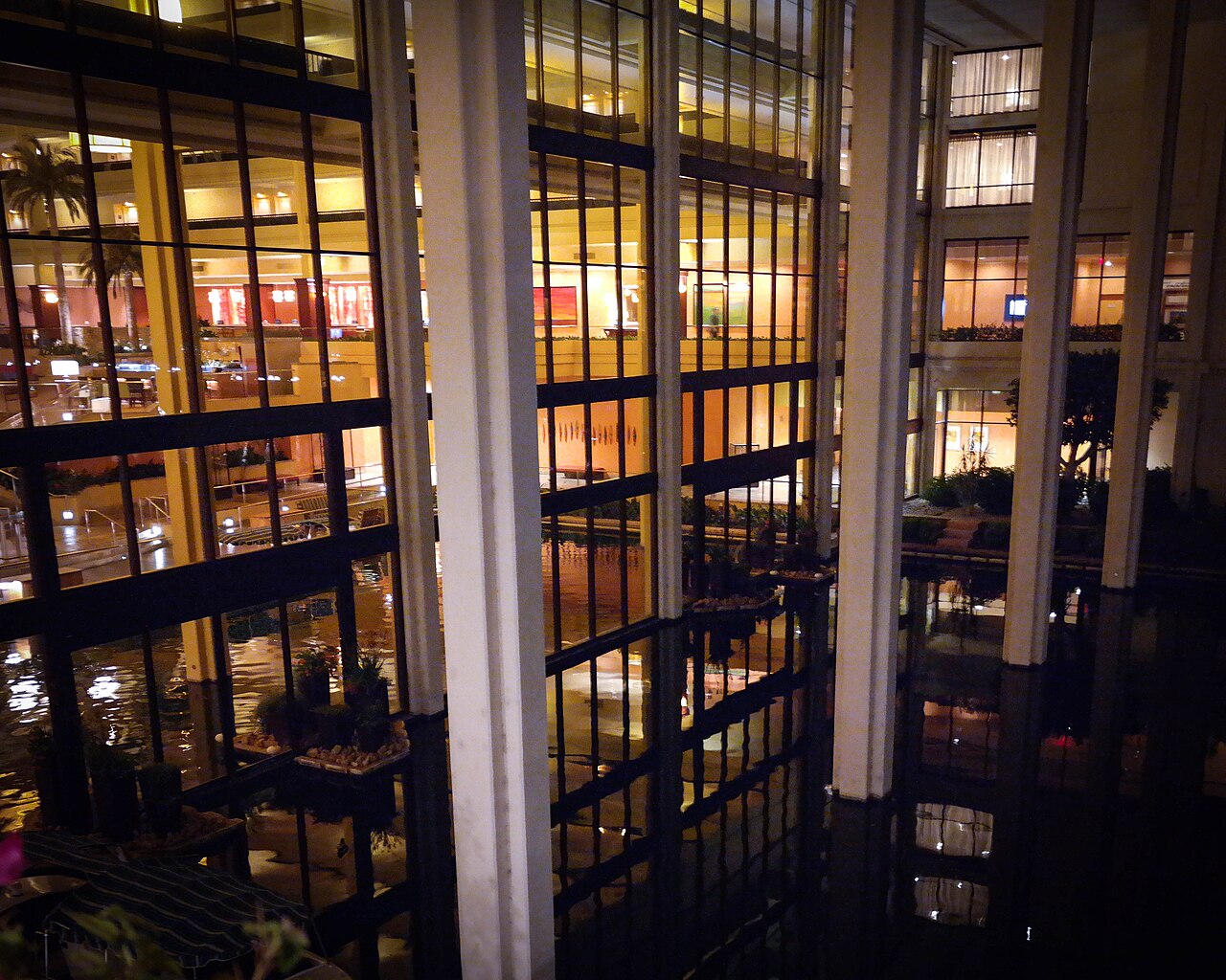
Desert Springs grounds — Palm Springs / Palm Desert
Desert Springs grounds
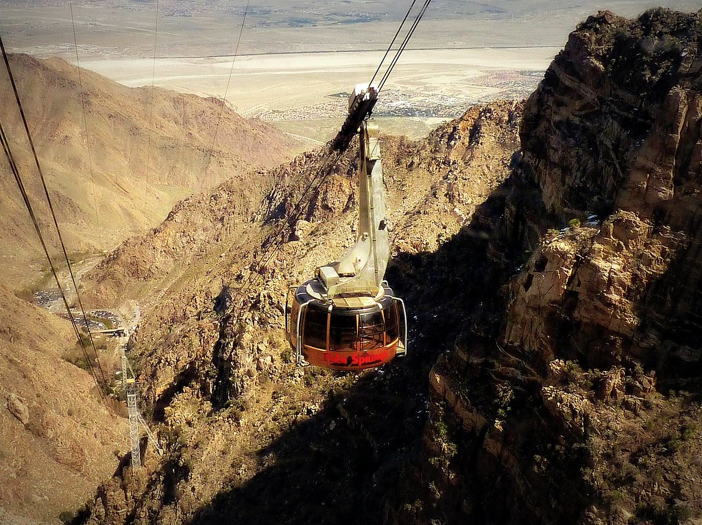
The Aerial Tramway — Palm Springs / Palm Desert
The Aerial Tramway
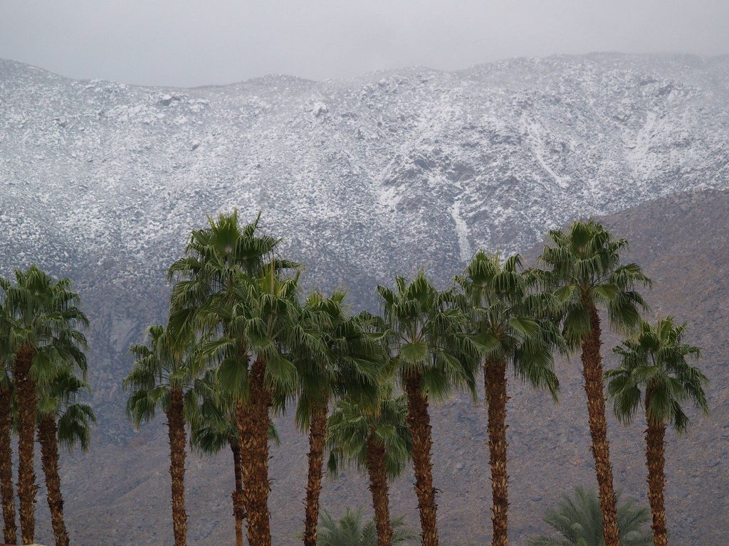
Palms below the snow line — Palm Springs / Palm Desert
Palms below the snow line
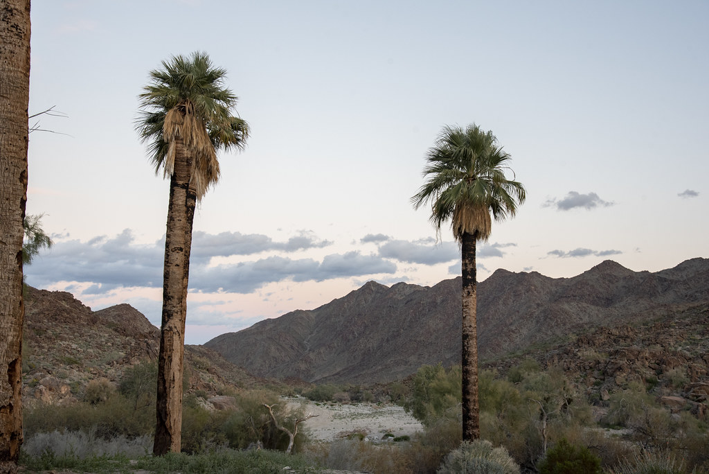
Indian Canyons — Palm Springs / Palm Desert
Indian Canyons
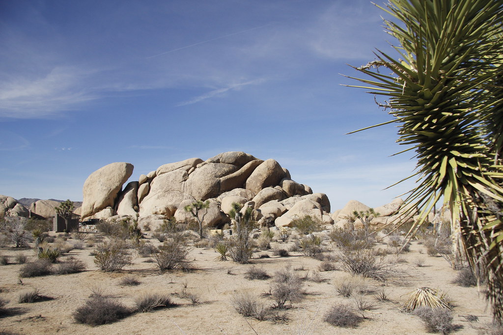
Joshua Tree National Park — Palm Springs / Palm Desert
Joshua Tree National Park
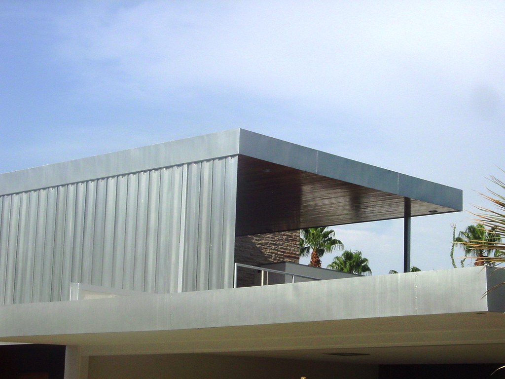
Kaufmann House — Palm Springs / Palm Desert
Kaufmann House
1 / 7
Christmas

04 Thu 24 – Fri 25 Dec · California

Palm Springs / Palm Desert

2h 15m over the mountains•2 nights

I-15 to Temecula, then CA-79 and the Palms to Pines highway (CA-74) down into the valley

Christmas at Desert Springs. The Palms to Pines highway drops 4,000 feet into the Coachella Valley in the last half hour — the best approach to Palm Desert there is. Dec 25 is the second rest day: the soak.

What to see

  • JW Marriott Desert Springs spa38,000 sq ft, 47 treatment rooms, hammam, Finnish sauna, Turkish steam, saltwater lap pool. Christmas Day belongs here.
  • Desert Hot Springs day passesAzure Palm's Oasis pass runs about $79 ($69 midweek), The Good House from $60, The Spring via ResortPass. Far cheaper than resort treatments.
  • Palm Springs Aerial TramwayRotating car to 8,500 ft — snow at the top, desert at the bottom, in the same afternoon. Open Christmas Day.
  • El PaseoPalm Desert's own gallery mile — a dozen galleries plus the outdoor sculpture walk along the median. Browsing, not tickets.
  • Indian CanyonsPalm oases and running water in a desert canyon, on Agua Caliente land.
  • Joshua Tree National ParkOn the annual pass; Cottonwood entrance is closest from the valley. A half-day option for the 25th if the spa loses.
  • Mid-century modern architectureA self-guided driving loop — Kaufmann House and Frey House II are visible from the road.

Where to stay

JW Marriott Desert Springs on points, both nights — your own pick, and the right one. Marriott waives resort fees on award stays, worth $35–50 a night here; confirm at booking. This is the night for a Free Night Award (saving #4).
Christmas closes things. Book Christmas Eve dinner at the resort now; buy anything you want in the car at Trader Joe's Palm Desert on the 24th — it closes early and is shut on the 25th.

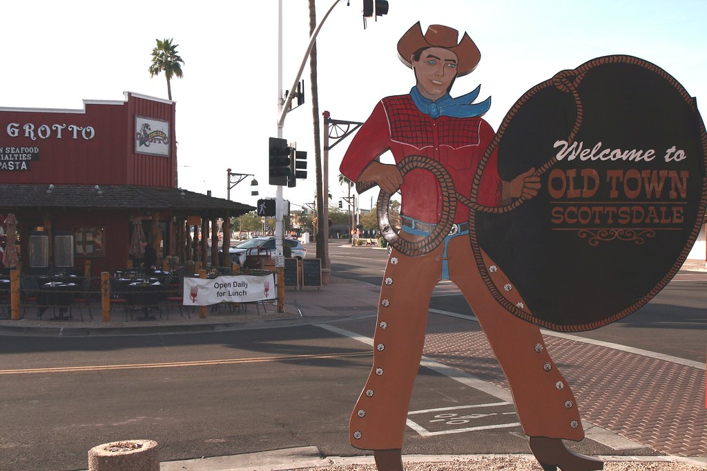
Old Town Scottsdale — Scottsdale
Old Town Scottsdale
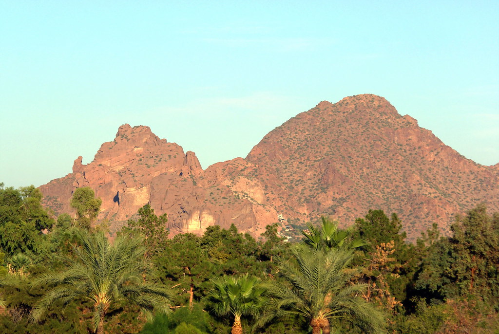
Camelback Mountain — Scottsdale
Camelback Mountain
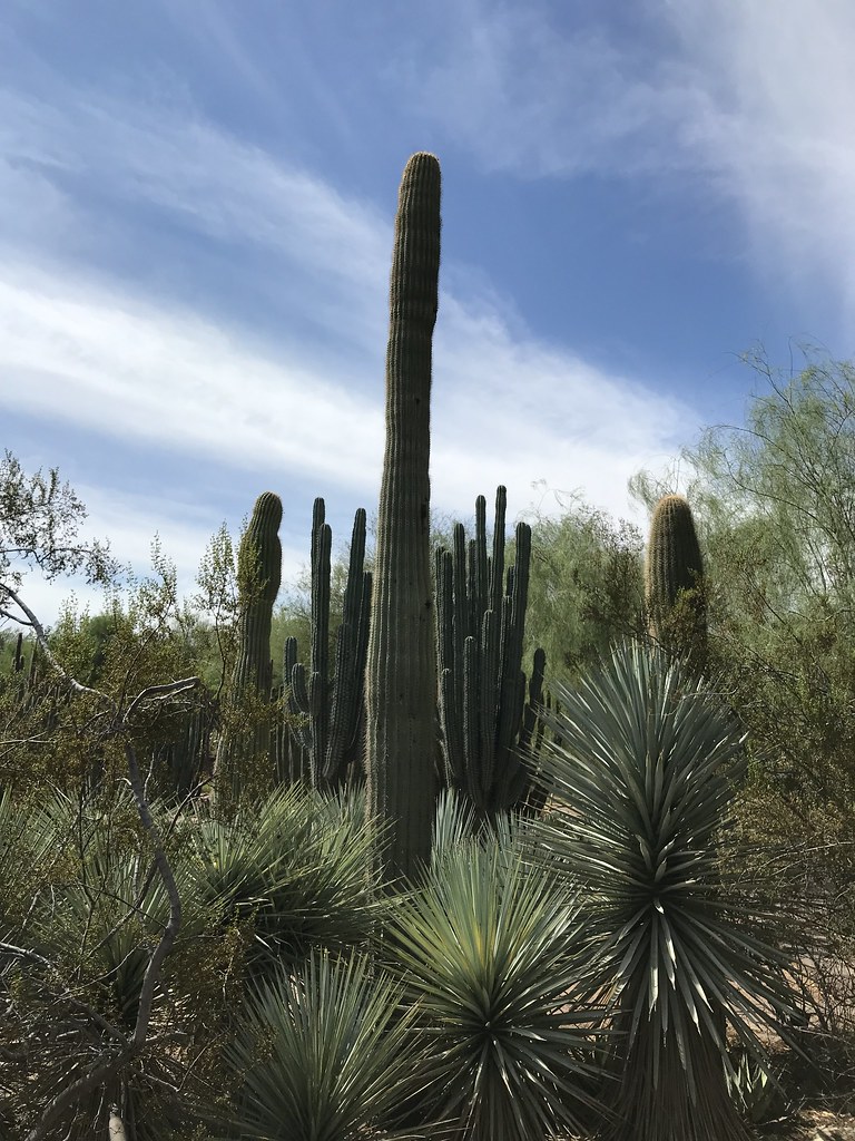
Saguaros at the Desert Botanical Garden — Scottsdale
Saguaros at the Desert Botanical Garden
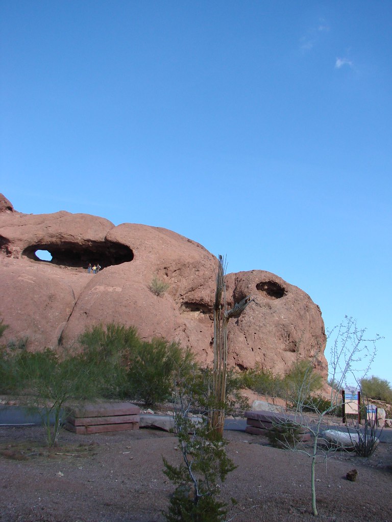
Hole-in-the-Rock, Papago Park — Scottsdale
Hole-in-the-Rock, Papago Park
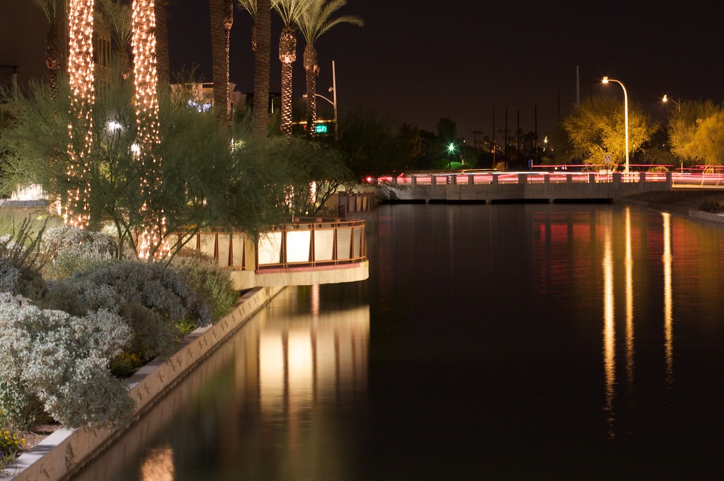
Scottsdale Waterfront at night — Scottsdale
Scottsdale Waterfront at night
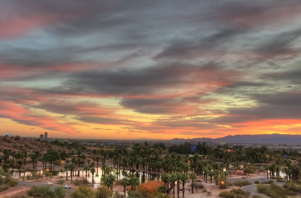
Valley sunset — Scottsdale
Valley sunset
1 / 6
Longest leg

05 Sat 26 Dec · Arizona

Scottsdale

4h east — the longest leg•1 night

I-10 across the desert, through Blythe and Quartzsite

Right at the four-hour ceiling, and flat the whole way. Fill the tank at Ehrenberg, the first exit in Arizona — a dollar a gallon cheaper than California.

What to see

  • Old Town ScottsdaleThe 1950s cowboy-town frontage, Fifth Avenue, and the Marshall Way arts district — forty-odd galleries in a few blocks. The Saturday ArtWalk runs from 6:30pm.
  • Desert Botanical GardenSaguaros, Chihuly-scale cactus, and Las Noches de las Luminarias — the garden lit by thousands of candles on December nights. Check the date; book if it's on.
  • Camelback MountainEcho Canyon is the hard hour; Cholla is the easier one. Or simply drive to the trailhead for the sunset view over the valley.
  • Hole-in-the-Rock, Papago ParkA ten-minute scramble to a sandstone window facing west over Phoenix. The sunset spot.
  • Pinnacle Peak ParkNorth Scottsdale — a gentle 1.75-mile trail through saguaro and granite boulders. Morning before the drive.
  • Scottsdale WaterfrontThe canal walk and the bars along it after dinner.

Where to stay

JW Marriott Camelback Inn on points — the 1936 classic under the mountain — or The Phoenician if the points allow. W Scottsdale puts Old Town on foot. Cash rates on Dec 26 are high: Phoenix is in season.

Interstate 10 west of Phoenix has dust-storm closures; they are rare in December but the signs mean it — pull off, lights off, foot off the brake.

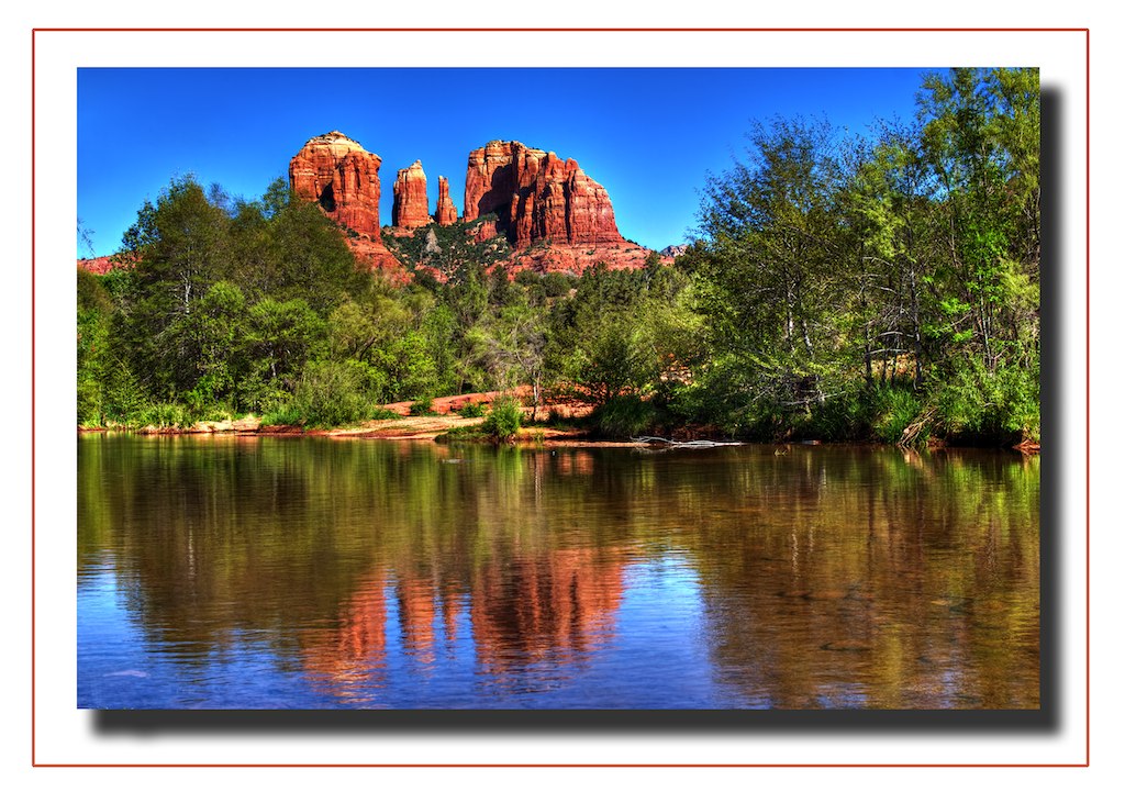
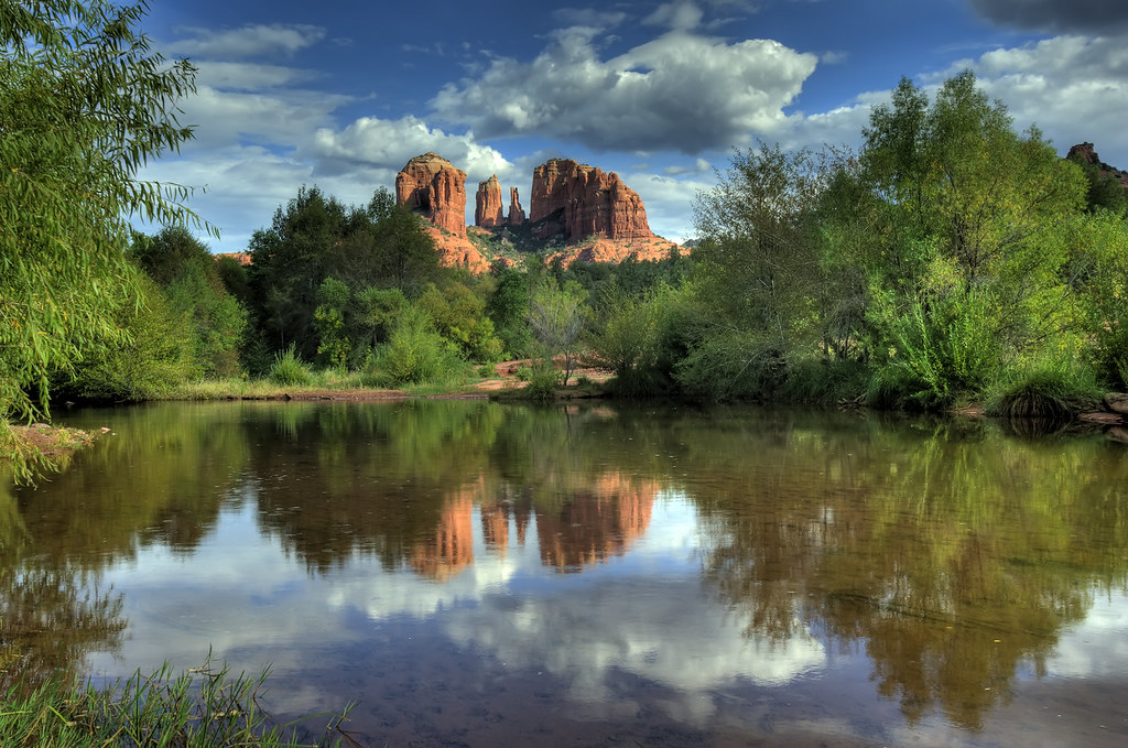
Cathedral Rock reflected in Oak Creek — Sedona
Cathedral Rock reflected in Oak Creek
Cathedral Rock — Sedona
Cathedral Rock
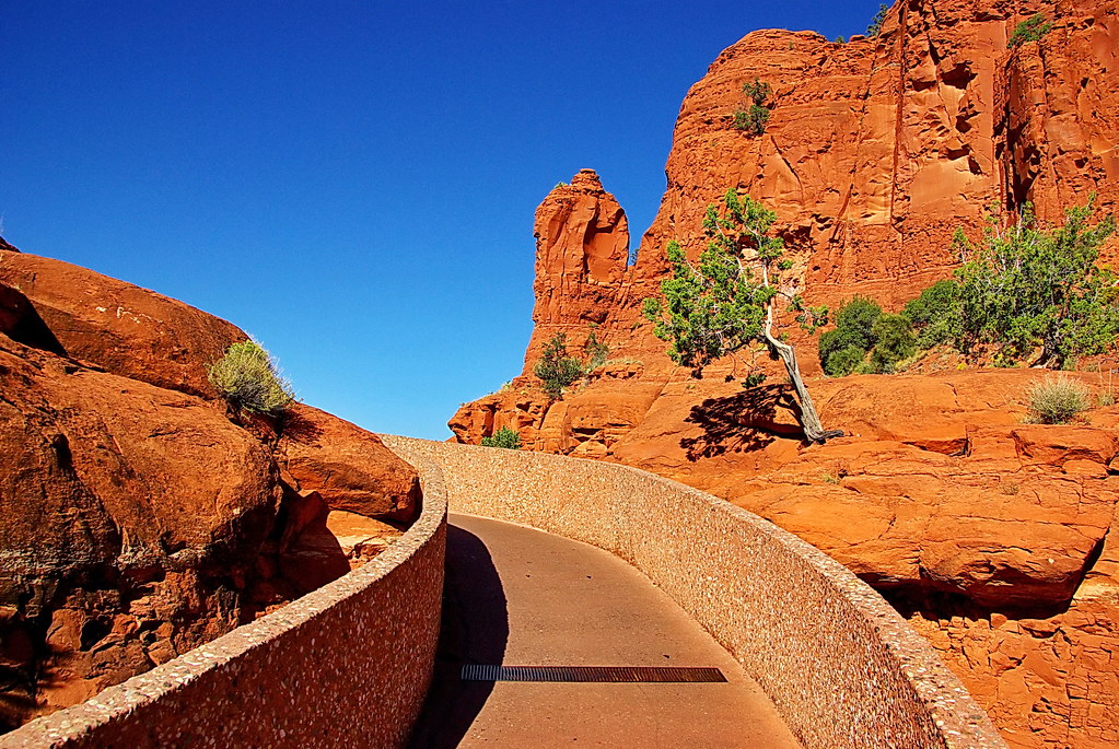
Chapel of the Holy Cross — Sedona
Chapel of the Holy Cross
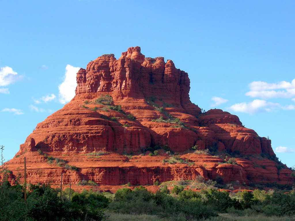
Bell Rock — Sedona
Bell Rock
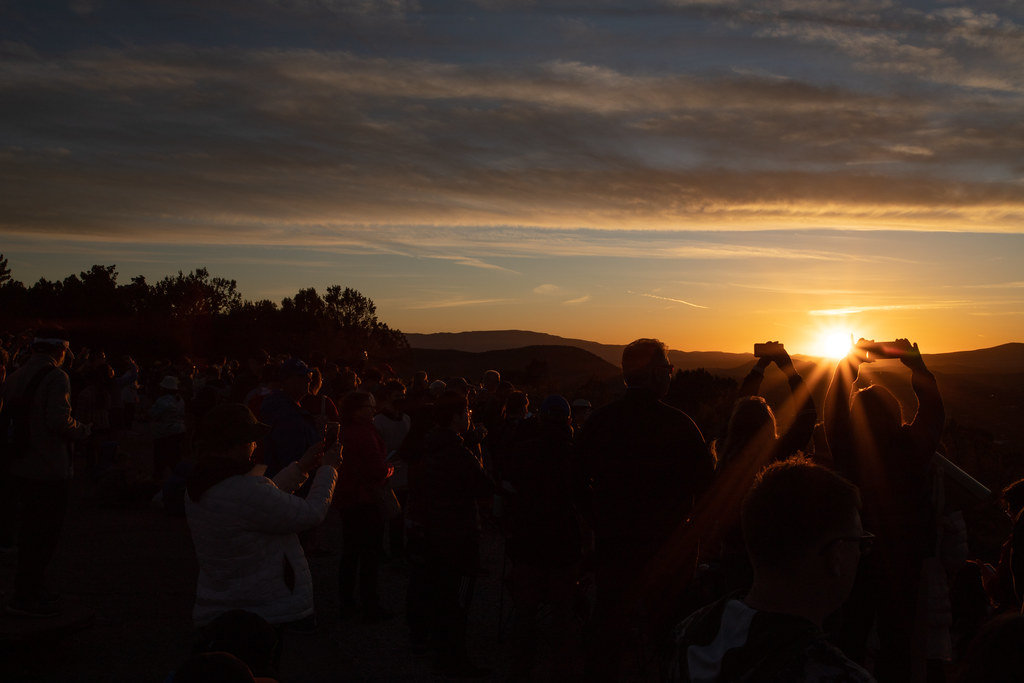
Sunset from Airport Mesa — Sedona
Sunset from Airport Mesa
1 / 5
Priority · painting

06 Sun 27 Dec · Arizona

Sedona

2h 05m north•1 night

I-17 to SR-179 — Bell Rock is the first thing you see

Into the red rocks by lunch, with the whole afternoon for the light on Cathedral Rock.

What to see

  • Cathedral Rock & Bell RockThe two classic red-rock profiles, and the easiest good walks in Sedona.
  • Red Rock CrossingCrescent Moon picnic site on Oak Creek — the reflection of Cathedral Rock, and the painting spot. $12 to park.
  • Chapel of the Holy Cross1956, built straight into the rock face.
  • Airport MesaThe sunset viewpoint. Arrive 45 minutes early on a holiday.
  • TlaquepaqueShaded arts village of independent galleries and courtyards — browsing, not ticketed. Farolitos and lights through New Year.
  • Oak Creek CanyonTomorrow's road north — the SR-89A switchbacks up to the rim. Closes in snow; I-17 is the fallback.

Where to stay

Sedona's points inventory is genuinely limited — check availability early and be ready to pay cash, or base in Village of Oak Creek just south of town for materially lower rates.

Paint between 3:30 and 5pm — sunset is 5:25, and the rocks go red for the last half hour.

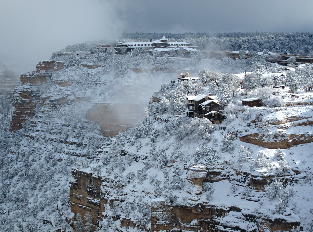
Grand Canyon in winter — Grand Canyon & Flagstaff
Grand Canyon in winter
Snow on the South Rim — Grand Canyon & Flagstaff
Snow on the South Rim
South Rim at sunset — Grand Canyon & Flagstaff
South Rim at sunset
From the Rim Trail east of Mather Point — Grand Canyon & Flagstaff
From the Rim Trail east of Mather Point
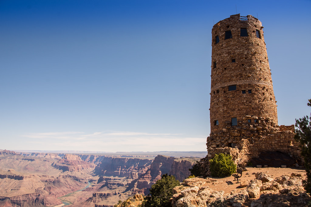
Desert View Watchtower — Grand Canyon & Flagstaff
Desert View Watchtower
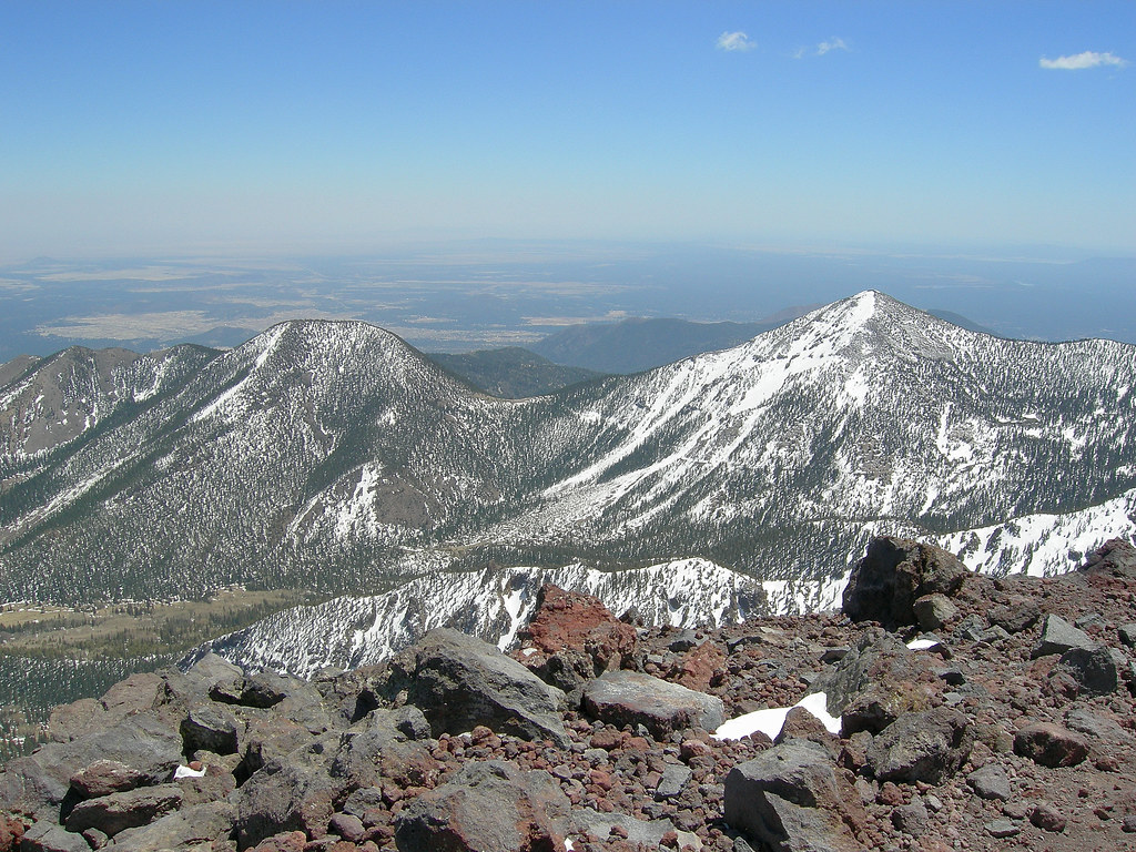
San Francisco Peaks under snow — Grand Canyon & Flagstaff
San Francisco Peaks under snow
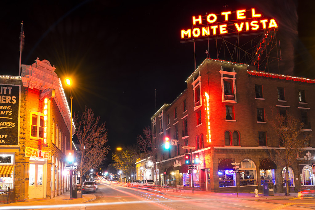
Hotel Monte Vista neon — Grand Canyon & Flagstaff
Hotel Monte Vista neon
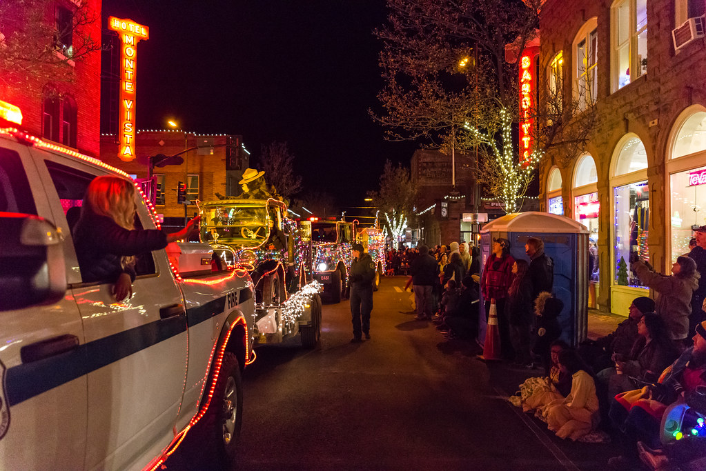
Downtown Flagstaff at night — Grand Canyon & Flagstaff
Downtown Flagstaff at night
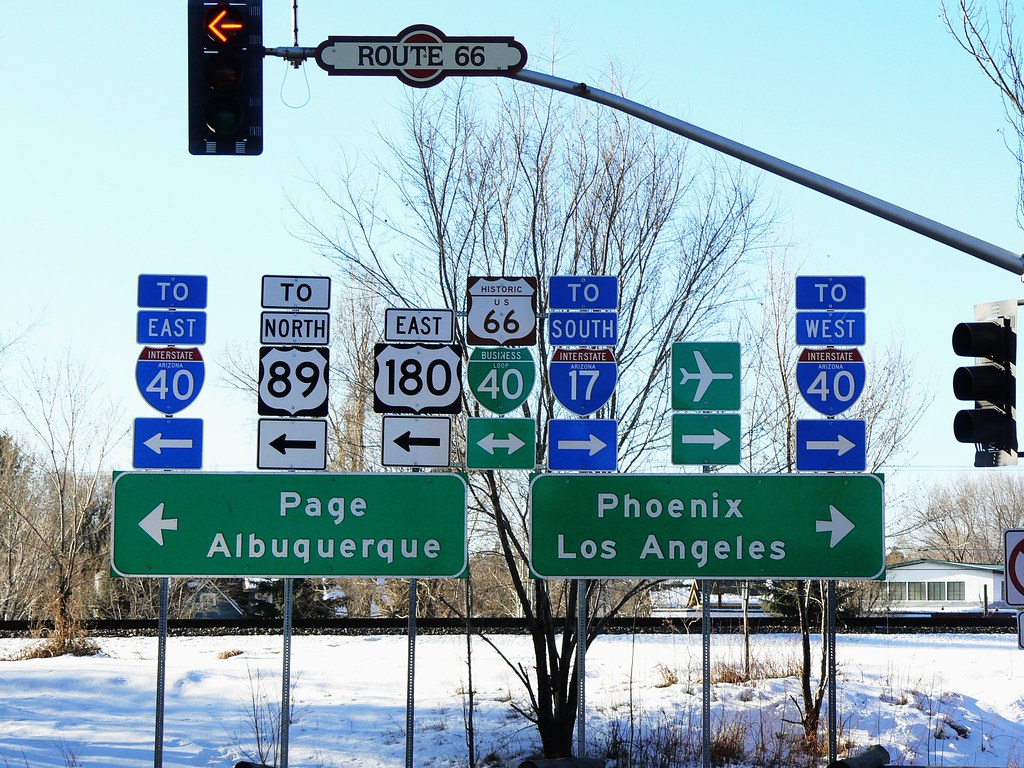
Route 66 junction — Grand Canyon & Flagstaff
Route 66 junction
1 / 9
Grand Canyon day

07 Mon 28 Dec · Arizona

Grand Canyon & Flagstaff

3h 45m, with the Canyon in the middle•1 night

SR-89A up Oak Creek Canyon, US-180 to the South Rim, Desert View Drive east, US-89 south

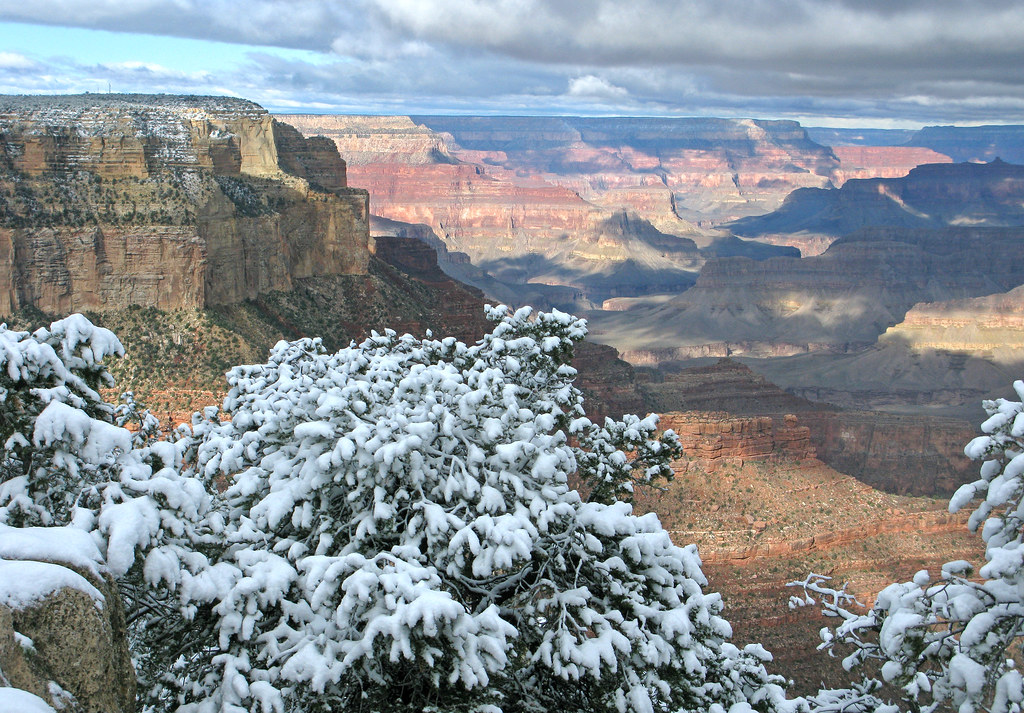
Up Oak Creek Canyon to the rim by late morning, the afternoon on the South Rim, and down to Flagstaff at 7,000 ft for the night. Snow on the rim in December is normal, not exceptional.

What to see

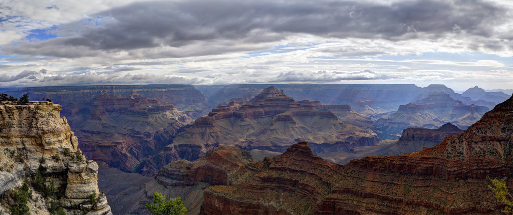
  • Grand Canyon South RimMather and Yavapai Points, the Rim Trail between them. Hermit Road is open to private cars December through February — a winter-only advantage.
  • Desert View DriveThe 25-mile eastern drive along the rim to the Watchtower — Grandview, Moran and Lipan Points — and it is the way out towards Flagstaff.
  • Desert View WatchtowerMary Colter's 1932 tower at the east entrance. Climb it for the Colorado far below.
  • Oak Creek CanyonThe morning's road: the switchbacks up from Sedona to the rim, with the viewpoint at the top.
  • Lowell ObservatoryPluto was found here. Evening telescope viewing, weather permitting — dress for 7,000 ft in December.
  • Historic downtown FlagstaffRoute 66 frontage, the Monte Vista neon, and a dense run of brewpubs.

Where to stay

Courtyard or Residence Inn Flagstaff on points; Little America is the independent alternative and handles snow well. Dec 28 is a Monday, so no holiday premium.

Grand Canyon entry on the annual pass. If SR-89A is closed for snow, take I-17 north to Flagstaff and US-180 to the rim — twenty minutes longer.

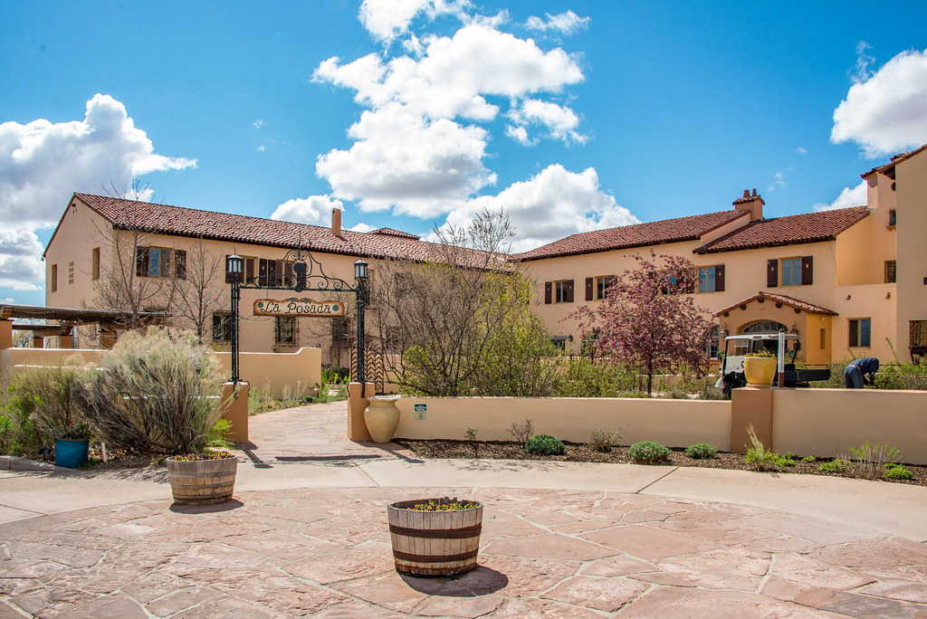
La Posada, Winslow — Gallup
La Posada, Winslow
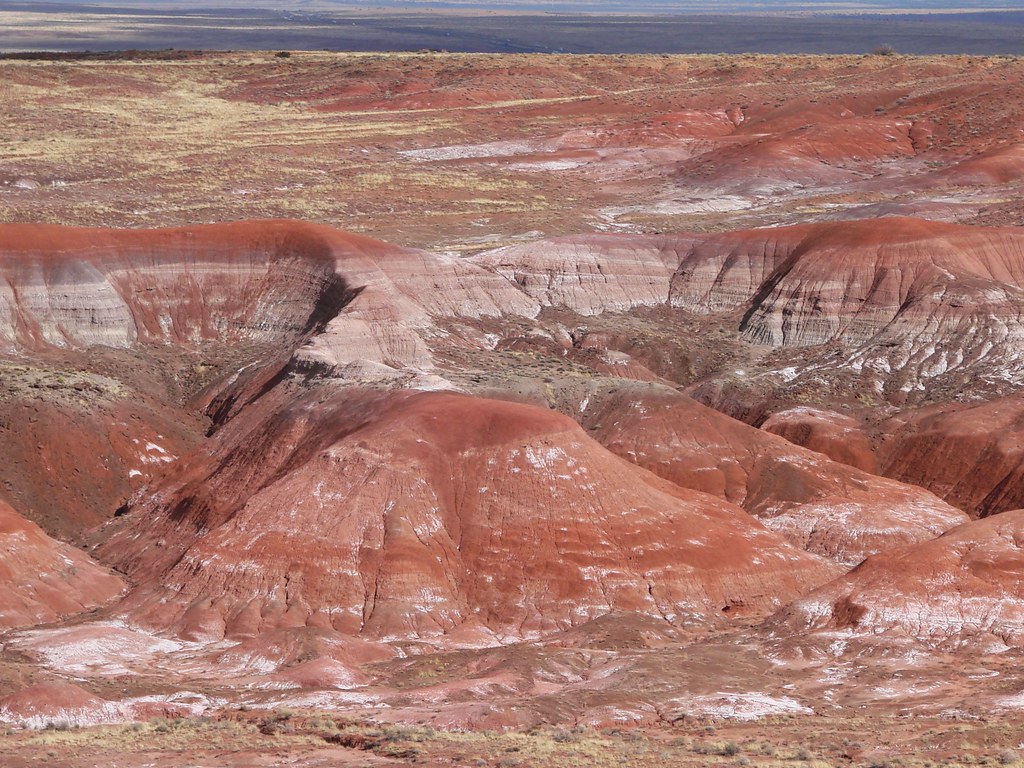
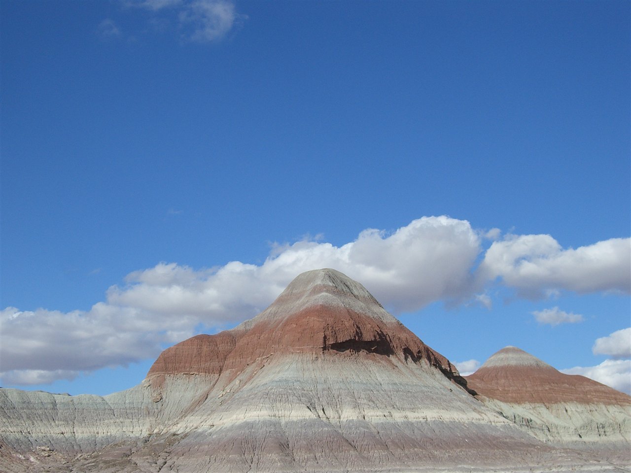
The Painted Desert — Gallup
The Painted Desert
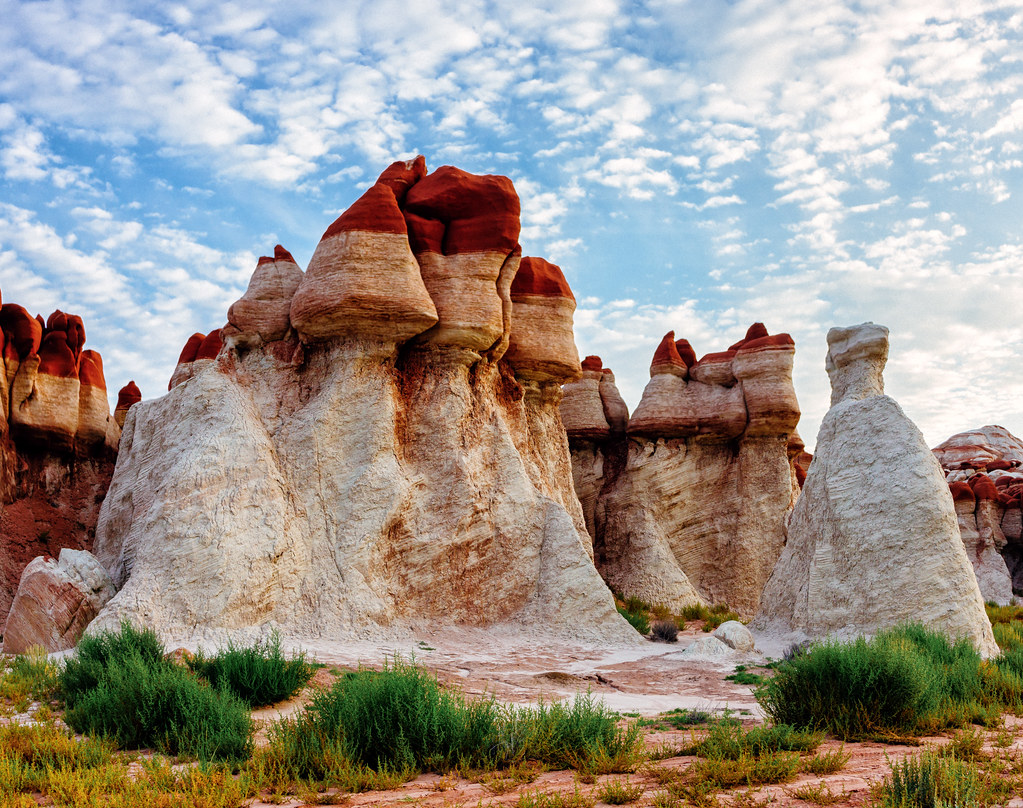
Spires in the Painted Desert — Gallup
Spires in the Painted Desert
Blue Mesa, Petrified Forest — Gallup
Blue Mesa, Petrified Forest
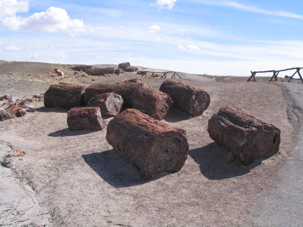
Petrified logs — Gallup
Petrified logs
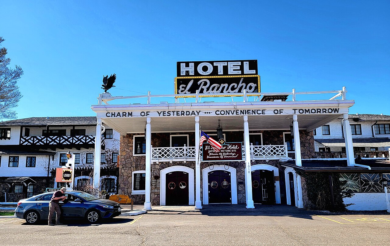
El Rancho Hotel, Gallup — Gallup
El Rancho Hotel, Gallup
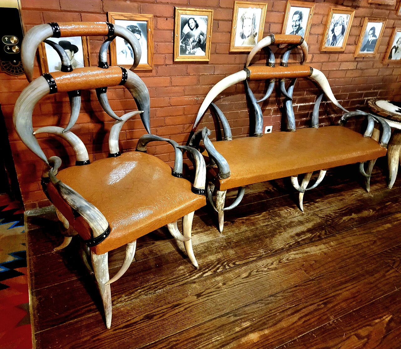
The El Rancho lobby — Gallup
The El Rancho lobby
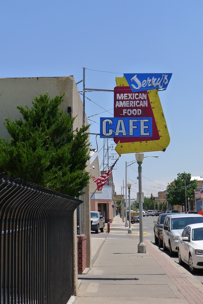
Route 66 neon, Gallup — Gallup
Route 66 neon, Gallup
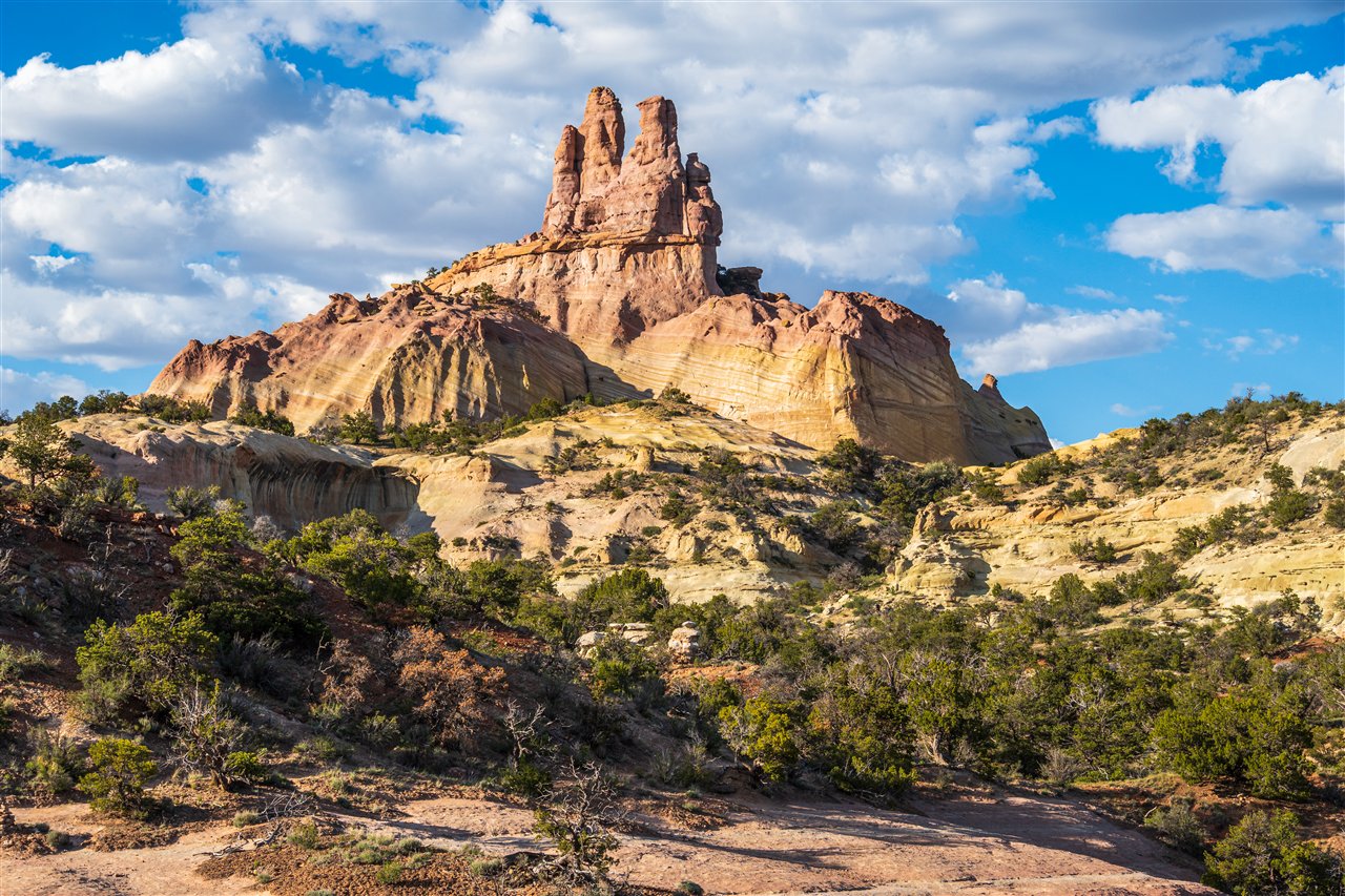
Church Rock, Red Rock Park — Gallup
Church Rock, Red Rock Park
1 / 9
Route 66

08 Tue 29 Dec · New Mexico

Gallup

3h east, plus an hour in the park•1 night

I-40 through Winslow and Holbrook; the Petrified Forest park road north to south

The Route 66 day. Lunch at La Posada in Winslow, the Painted Desert and the petrified logs in the afternoon, and a night at El Rancho — the 1937 hotel Hollywood's westerns were shot from.

What to see

  • Petrified Forest National ParkDirectly on I-40, on the annual pass. Enter at the north for the Painted Desert overlooks, drive the 28 miles south past Blue Mesa and Crystal Forest, exit at Holbrook.
  • La Posada, WinslowMary Colter's last great railroad hotel, restored. The best lunch stop on I-40 by a distance; Standin' on the Corner is two blocks away.
  • El Rancho HotelThe lobby — two-storey, log balconies, Navajo rugs, signed photographs of every star who slept here. Have a drink in the 49er Lounge even if you sleep elsewhere.
  • Richardson's Trading Company1913, on Route 66 — rugs, turquoise and silver, bought direct. A shop, not a museum, and a serious one.
  • Route 66 through townNeon motel signs, murals, the El Morro Theatre. Twenty minutes on foot at dusk.
  • Red Rock Park & Church RockTen minutes east: sandstone cliffs and the spire of Church Rock at first light, on the way out tomorrow.

Where to stay

El Rancho Hotel — cash, roughly $110–150, and it is the point of the stop. Rooms are named for the stars who slept in them. SpringHill or Fairfield Gallup on points if you'd rather not.

Gallup sits at 6,500 ft and I-40 here closes for snow more often than people expect. Winter tires or all-seasons in good tread, and chains or cables in the trunk.

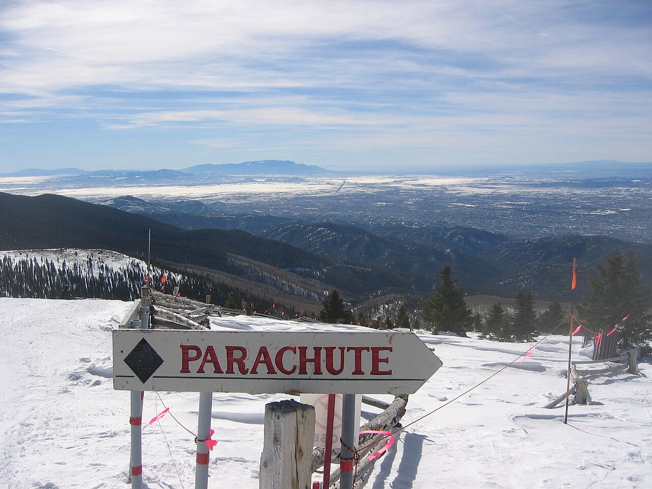
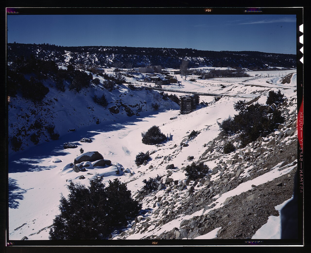
Ski Santa Fe — the top of the mountain — Santa Fe
Ski Santa Fe — the top of the mountain
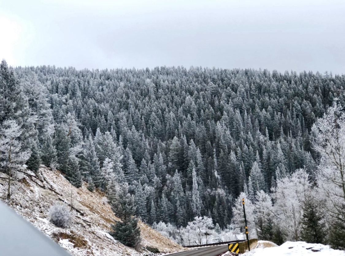
Snow on the ski hill — Santa Fe
Snow on the ski hill
A Canyon Road gallery — Santa Fe
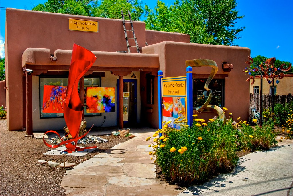
A Canyon Road gallery
Sculpture on Canyon Road — Santa Fe
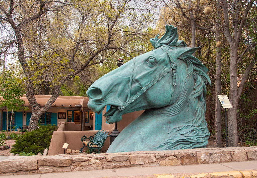
Sculpture on Canyon Road
Vendors under the Palace portal — Santa Fe
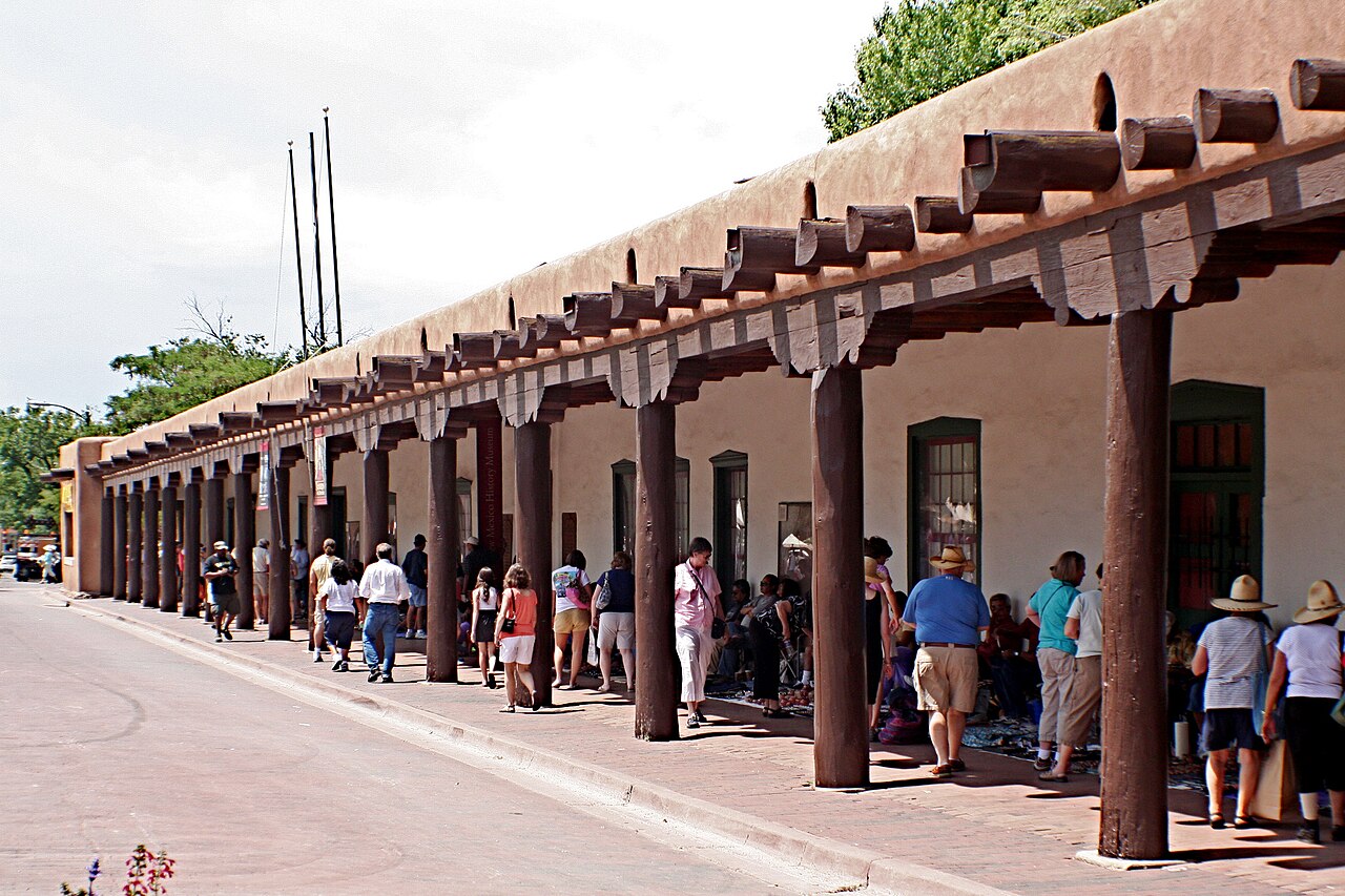
Vendors under the Palace portal
The Loretto Chapel staircase — Santa Fe
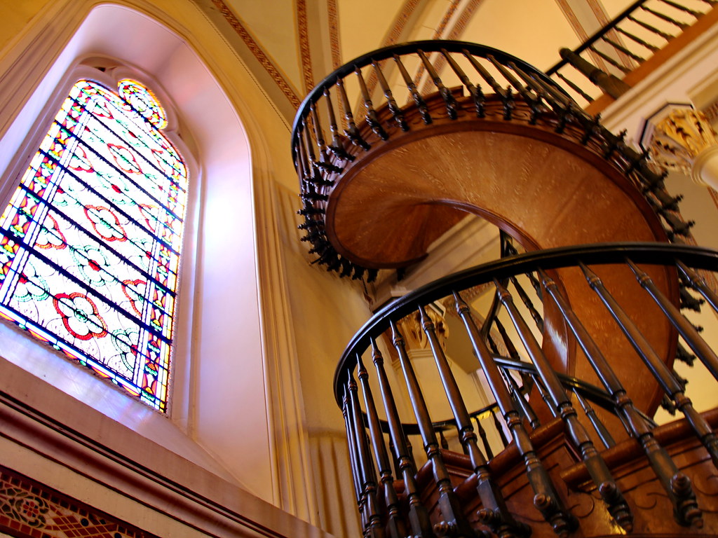
The Loretto Chapel staircase
The Sangre de Cristos in winter — Santa Fe
The Sangre de Cristos in winter
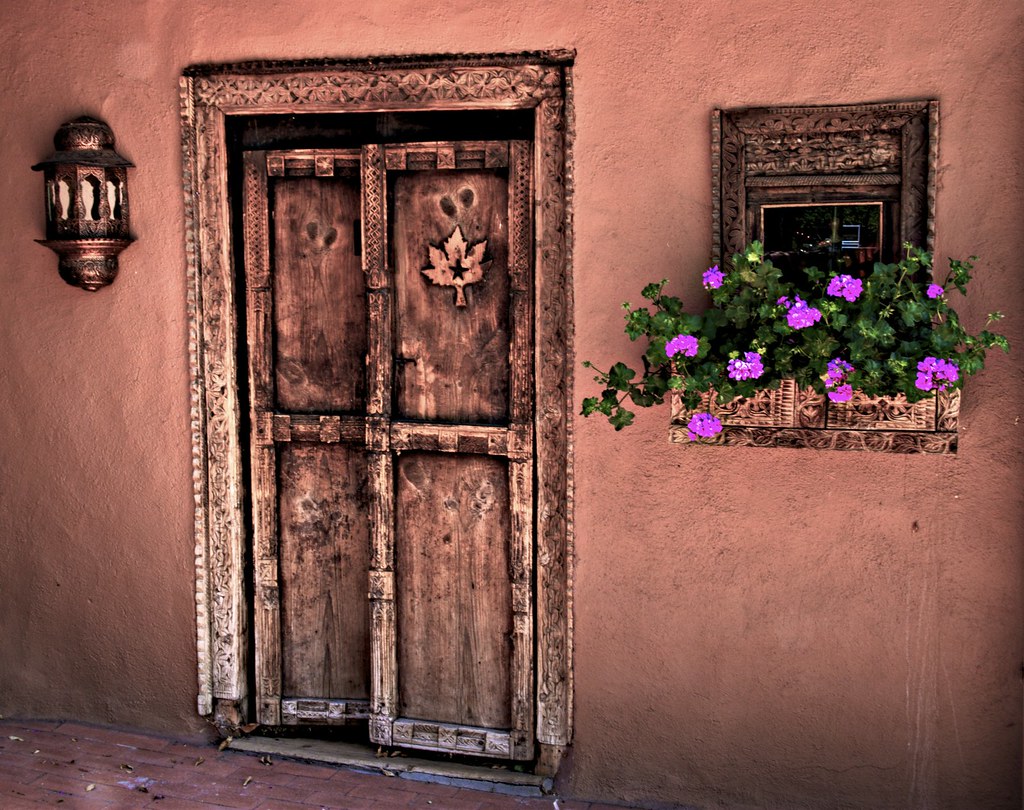
Adobe and hollyhocks — Santa Fe
Adobe and hollyhocks
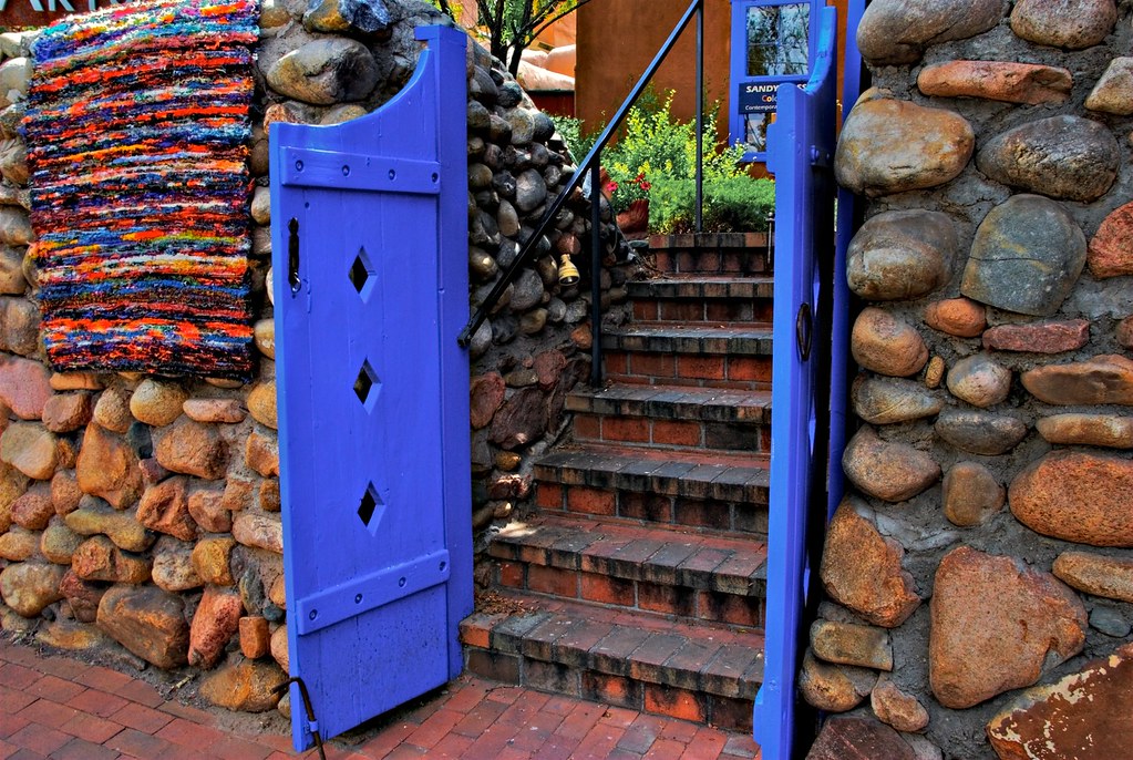
A blue door on Canyon Road — Santa Fe
A blue door on Canyon Road
1 / 9
New Year's Eve · ski

09 Wed 30 – Thu 31 Dec · New Mexico

Santa Fe

3h east•2 nights

I-40 to Albuquerque, then I-25 — or the Turquoise Trail (NM-14) through Madrid, half an hour longer

Two nights, and the reason the route swings north. Galleries, not museums — Canyon Road is a market you walk through. Dec 31 is the rest day: skis in the morning, Canyon Road in the afternoon light, and the new year on the Plaza.

What to see

  • Ski Santa FeSixteen miles up NM-475 from the Plaza — base 10,350 ft, summit 12,075 ft. A locals' hill rather than a destination resort, so even holiday week stays sane. Half a day on the 31st still leaves Canyon Road for the afternoon.
  • Canyon RoadRoughly a hundred galleries in half a mile. This is the art market, it is walkable, and it is why the route goes north.
  • The Palace portalNative American artisans sell under the portico on the Plaza most days — buying direct from the maker.
  • Ten Thousand WavesJapanese-style hot spring baths in the hills above town, on the road down from the ski hill. Private and communal tubs; book ahead in holiday week.
  • Madrid, on the Turquoise TrailAn old coal town turned gallery village on NM-14, if you take the slow road in from Albuquerque.
  • Santa Fe Plaza & Loretto ChapelThe old centre, the miraculous staircase, and the adobe streets around San Miguel. Midnight on the Plaza on the 31st.
  • Meow Wolf — House of Eternal ReturnAn immersive walk-through art installation, not a gallery. Timed tickets.
  • The High Road to TaosChimayó, Truchas and Las Trampas — the great winter drive out of Santa Fe if the roads are clear and skiing loses.

Where to stay

Bonvoy's Santa Fe bench is thin — Courtyard and Residence Inn are the dependable points plays, both a short drive from the Plaza. The character hotels (La Fonda on the Plaza, Inn of the Five Graces, Eldorado) are cash. Given two nights, a priority stop and New Year's Eve, pay cash for La Fonda on the 31st and points on the 30th.

7,200 ft in town and 12,075 ft at the top of the ski hill, after two nights already at 6,500–7,000 ft — better acclimatised than last time, but still take the first runs gently. Hyde Park Road up to the ski area holds packed snow: in your own car that means proper tires and chains in the trunk, not a request at a rental counter. Buy lift tickets online in advance; rent skis in town (Cottam's, Alpine Sports) rather than at the base. Book New Year's Eve dinner now.

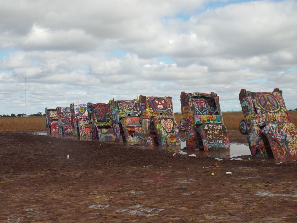
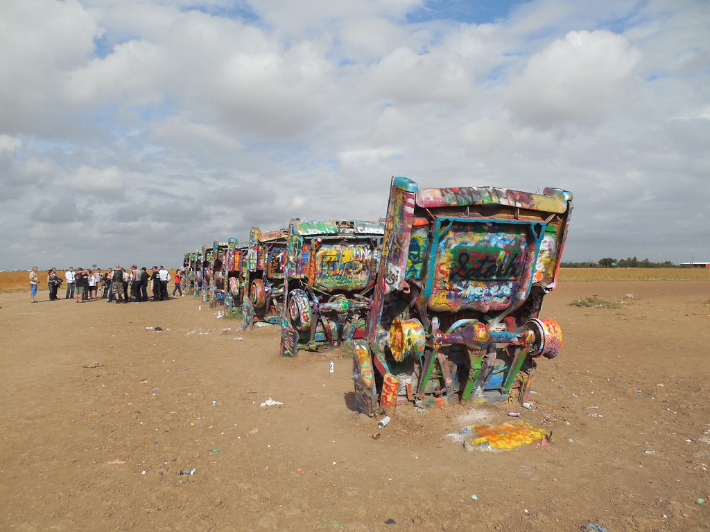
Cadillac Ranch — Amarillo
Cadillac Ranch
Ten Cadillacs, nose down — Amarillo
Ten Cadillacs, nose down
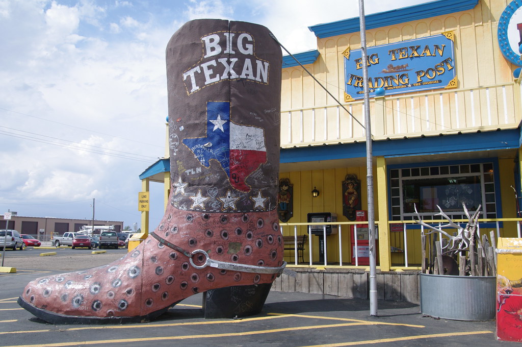
The Big Texan — Amarillo
The Big Texan
1 / 3
New Year's Day

10 Fri 1 Jan · Texas

Amarillo

4h 15m east — the first rule-breaker•1 night

I-25 to Las Vegas, NM, then I-40 across the state line

New Year's Day on the high plains. The trip changes character here — wind, distance, and the first Texas sky. Fifteen minutes over the four-hour rule; there is nothing between Santa Fe and Amarillo to stop for.

What to see

  • Cadillac RanchTen half-buried Cadillacs west of town. Free, open always, and you are expected to bring spray paint — the one thing guaranteed open on January 1.
  • The Big Texan Steak RanchThe 72-ounce challenge. Open New Year's Day. Go for the sign if not the steak.
  • Route 66 Historic DistrictSixth Street — antiques, neon and dive bars, though much of it will be shut for the holiday.
  • Palo Duro CanyonTomorrow morning — 30 minutes south, and on the way to Abilene.

Where to stay

Cash, or points at The Barfield — an Autograph Collection conversion of a 1927 downtown office building. New Year's night is one of the cheapest hotel nights of the year; if The Barfield is under ~$140 cash, pay cash and keep the points.
The panhandle ices. If I-40 east of Santa Rosa is closed, there is no good alternative — wait it out in Santa Fe rather than trying US-84.

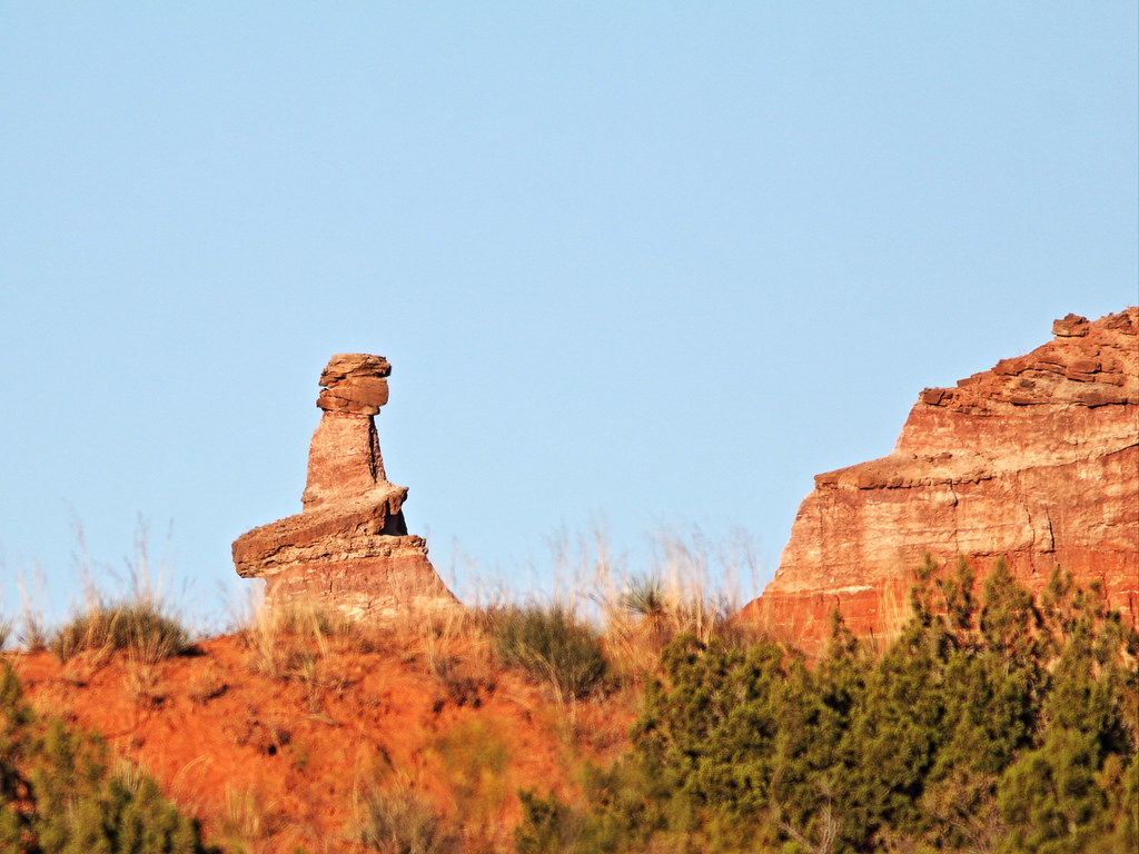
The Lighthouse, Palo Duro Canyon — Abilene
The Lighthouse, Palo Duro Canyon
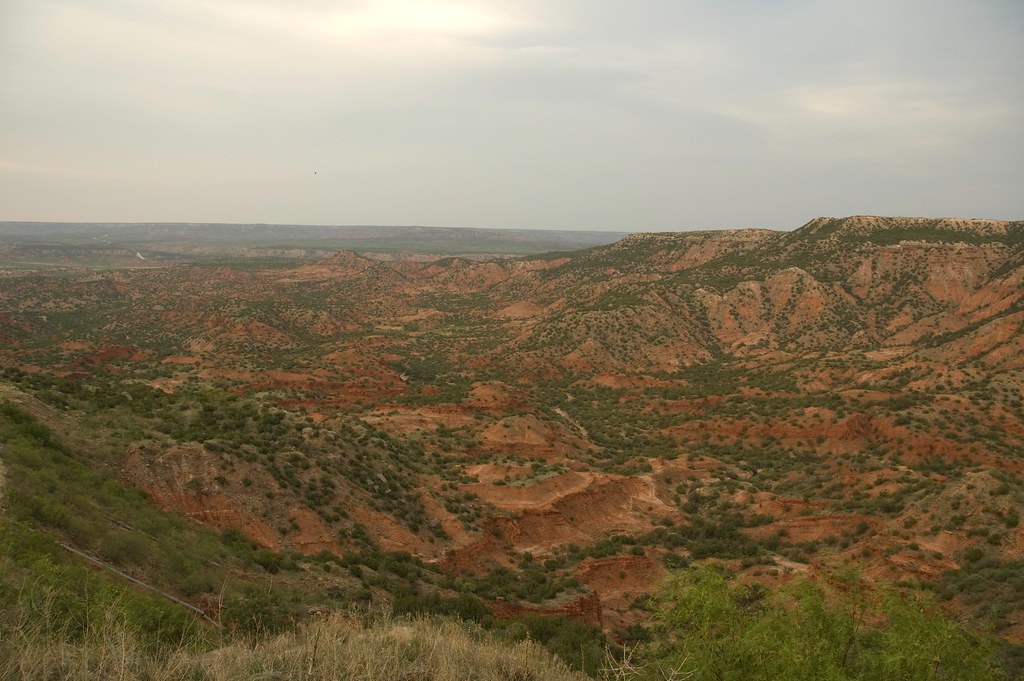
Palo Duro Canyon — Abilene
Palo Duro Canyon
Red rock and cactus — Abilene
Red rock and cactus
Canyon rim — Abilene
Canyon rim
The Paramount marquee — Abilene
The Paramount marquee
Fort Phantom Hill — Abilene
Fort Phantom Hill
Buffalo Gap — Abilene
Buffalo Gap
1 / 7
Panhandle

11 Sat 2 Jan · Texas

Abilene

4h 20m south, after the canyon•1 night

Palo Duro first, then I-27 through Lubbock and US-84

The second and last rule-breaker, softened by starting in a canyon. Palo Duro at first light, then straight down the plains to Abilene — a stop chosen for one dinner.

What to see

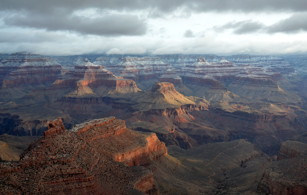
  • Palo Duro Canyon State ParkThe second-largest canyon in the US, 30 minutes south of Amarillo. Drive the rim, then the Lighthouse trail (6 miles round trip) or just the first mile of it. Early light on the red rock is the painting window.
  • Perini Ranch Steakhouse, Buffalo GapFifteen minutes south of Abilene, in a mesquite grove — one of the great Texas steakhouses. Book it now; it is the reason to sleep here.
  • Downtown storybook sculpturesAbilene is the Storybook Capital of America: bronze children's-book characters around Everman Park and the streets nearby. A twenty-minute walk with the Paramount marquee at the end of it.
  • Fort Phantom HillRuined chimneys of an 1851 frontier fort, open-air and free, 15 minutes north. Big-sky, late-afternoon light.
  • Lubbock, for lunchHalfway. Skip the interstate exits — downtown Lubbock has a handful of good lunch rooms and Buddy Holly's statue.

Where to stay

Courtyard Abilene Southwest or Residence Inn on points, or cash — Saturday Jan 2 will be $90–130. Whatever you book, the evening is Perini Ranch.

Palo Duro is a Texas state park — about $8 per person, and NOT covered by the federal pass. Reserve a day pass online; the park limits entries on holiday weekends.

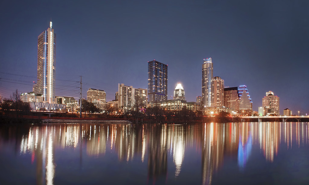
Austin from Lady Bird Lake — Austin
Austin from Lady Bird Lake
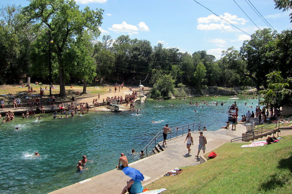
Barton Springs Pool — Austin
Barton Springs Pool
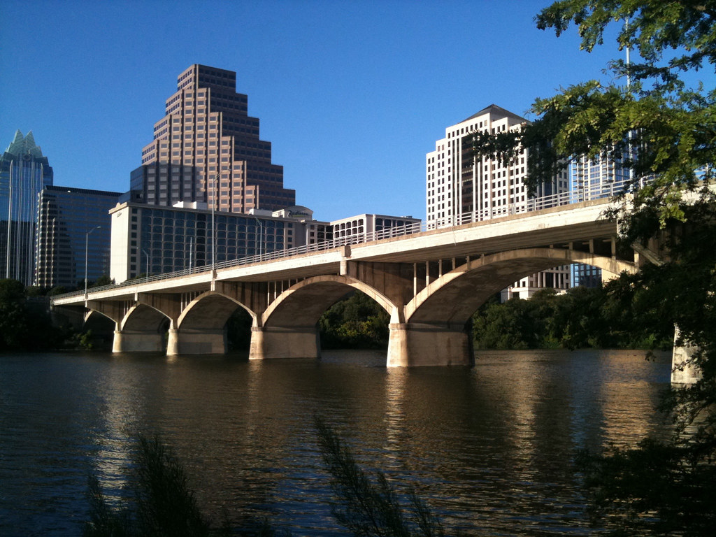
Congress Avenue Bridge — Austin
Congress Avenue Bridge
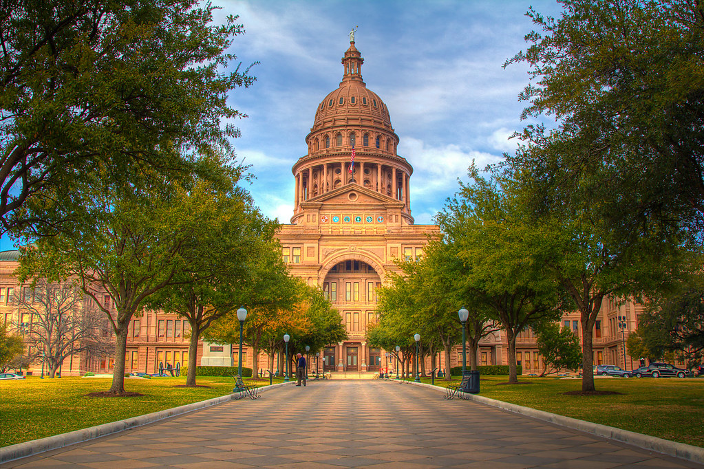
Congress Avenue and the Capitol — Austin
Congress Avenue and the Capitol
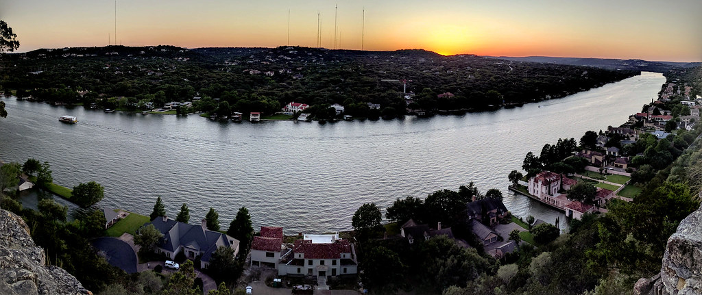
Sunset from Mount Bonnell — Austin
Sunset from Mount Bonnell
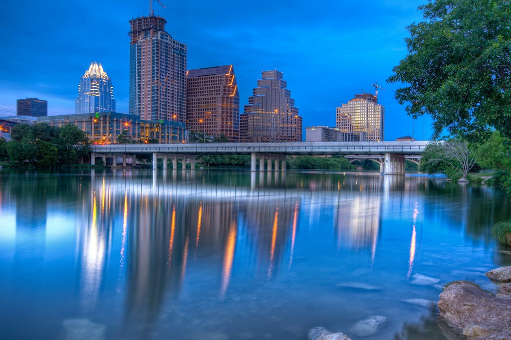
Austin at twilight — Austin
Austin at twilight
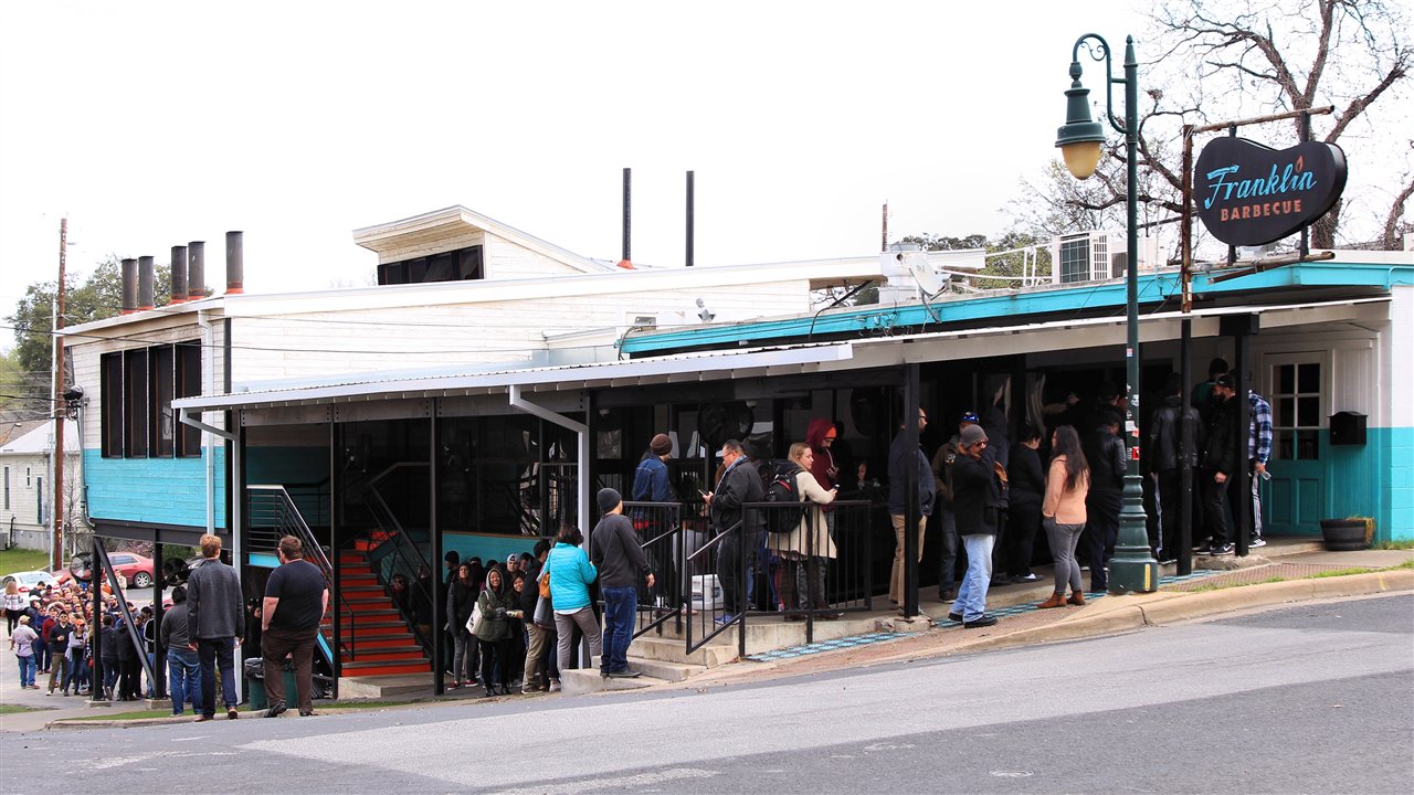
The line at Franklin Barbecue — Austin
The line at Franklin Barbecue
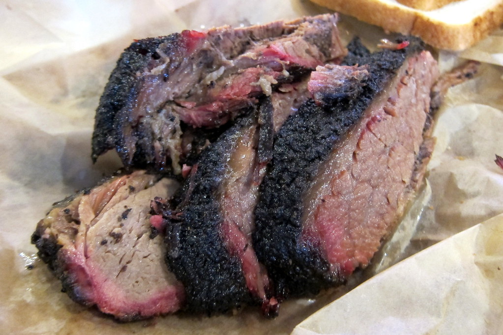
Brisket — Austin
Brisket
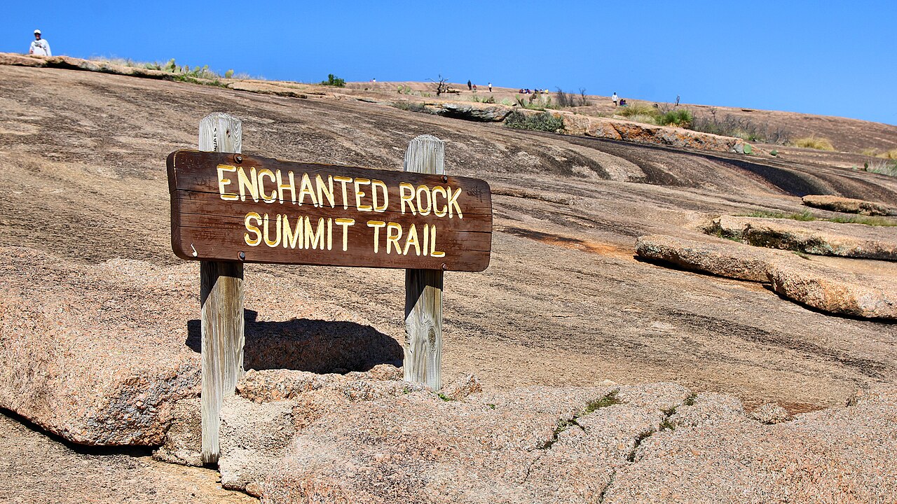
Enchanted Rock summit trail — Austin
Enchanted Rock summit trail
1 / 9
Last night

12 Sun 3 Jan · Texas

Austin

3h 30m southeast•1 night

US-83 and US-183 through Brownwood and Lampasas; Enchanted Rock adds an hour

The last night on the road, and the one most likely to fill the friends table. Barton Springs is 68°F in January; the swim is the point.

What to see

  • Barton Springs PoolSpring-fed, 68°F all year, open in winter with free entry. A Sunday-afternoon swim in January is the Austin thing to do.
  • South CongressBoots at Allens, coffee at Jo's under the ‘i love you so much’ wall, the murals, and the Continental Club for live music after dinner.
  • BarbecueFranklin opens Sunday at 11 and sells out; the line starts at 9. Terry Black's on Barton Springs Road has the same brisket and no line.
  • Mount BonnellThe 100-step climb to the sunset view over Lake Austin. 5:45pm.
  • Lady Bird LakeThe hike-and-bike trail, the skyline from the Congress Avenue Bridge (no bats in winter — they are in Mexico), and the boardwalk.
  • Enchanted RockOptional: the pink granite dome an hour west of the direct route, climbed in 45 minutes. Reserve entry online; it fills. Adds about an hour to the day.
  • Rainey StreetBungalows turned bars, a few blocks from the JW. Sunday night after New Year will be quiet, which suits.

Where to stay

Austin Proper (Design Hotels, Bonvoy) on points if it's there; JW Marriott Austin downtown is the dependable redemption. W Austin puts you at ACL Live. The Sunday after New Year is soft — price cash too.

Sunday night before a Monday hand-off: empty the car tonight. Whatever is still in it tomorrow morning goes to Houston in a bag on the plane or stays on the truck.

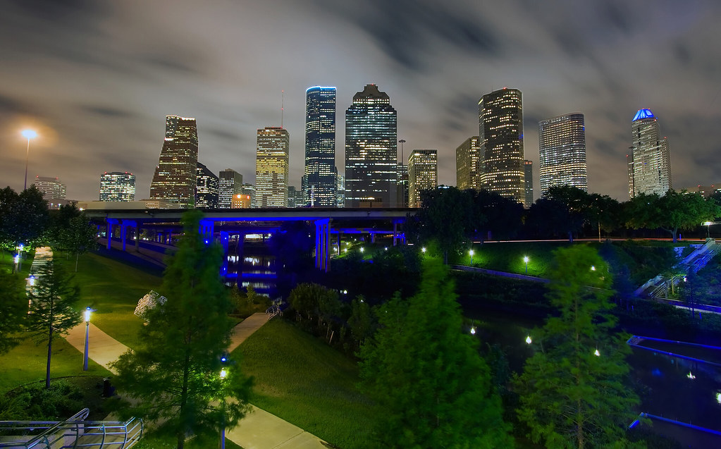
The skyline from Buffalo Bayou — Houston — ship the car, fly home
The skyline from Buffalo Bayou
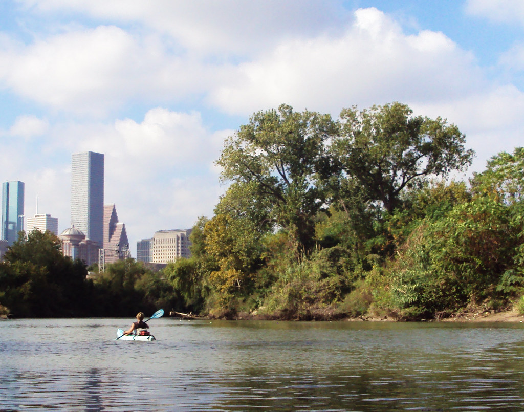
Kayaks on Buffalo Bayou — Houston — ship the car, fly home
Kayaks on Buffalo Bayou
The Waterwall — Houston — ship the car, fly home
The Waterwall
Montrose murals — Houston — ship the car, fly home
Montrose murals
1 / 4
Arrive

13 Mon 4 Jan · Texas

Houston — ship the car, fly home

2h 45m east•Hand-off

US-290, or I-10 via Bastrop

Arrive by eleven. Meet the carrier, sign the bill of lading, then a long lunch and a walk along the bayou before the evening flight home.

What to see

  • Buffalo Bayou ParkThe skyline from the bayou trails — the last walk of the trip, and the picture.
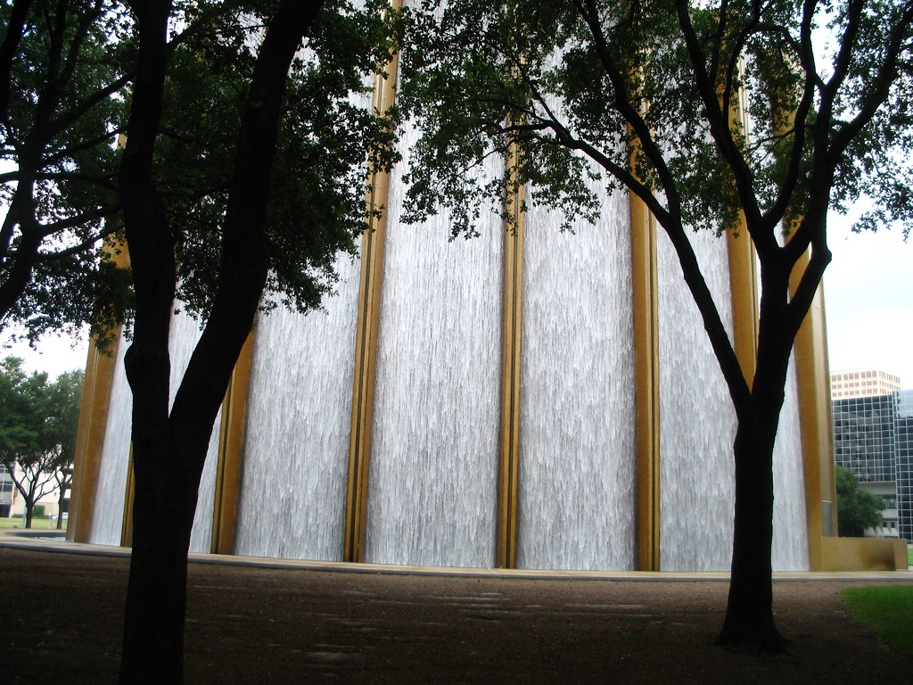
  • The WaterwallThe 64-foot horseshoe fountain by the Galleria, if the carrier meets you on the west side.
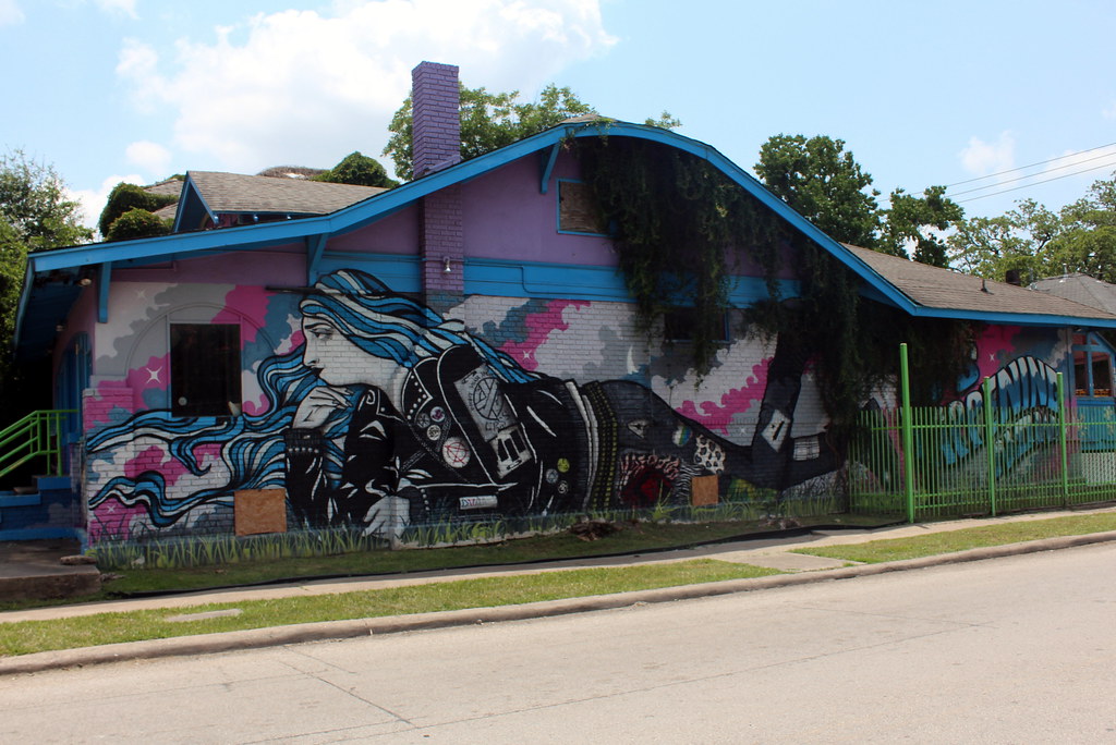
  • MontroseMurals, coffee and lunch in the neighbourhood everyone in Houston will tell you to go to.
  • Hobby, not IAHHobby is Southwest's hub and 20 minutes closer to town. Evening departures to LAX and SFO both exist.

Where to stay

None planned. If the carrier's pickup window slips a day, Marriott Marquis Houston on points — the one with the Texas-shaped lazy river.

Quarter tank of fuel, nothing loose inside, photograph every panel with the driver present, and keep your copy of the bill of lading — that is the inspection you will need if anything arrives dented. Transit to California runs 5–9 days.

What it costs

Driving our own car swaps last year's one-way rental for a car carrier and a pair of flights home — roughly the same money, moved to different lines. Shipping is now the largest single line and the first place to look.

Estimated trip costs, low and high
ItemLowHighBasis
Car shipping, Houston → California, open carrier$1,000$1,600Door to door, 1,550–1,900 mi; enclosed adds $500–800
Flights home from Houston, 2 pax, Jan 4$300$700Southwest from Hobby to LAX or SFO; points or cash
Fuel, ~2,750 miles$330$50030 mpg vs 20 mpg at a route-weighted $3.65/gal — CA $4.70, TX $2.90
Pre-trip service$100$250Oil, tires, wipers, and a set of chains for the trunk
Hotels, cash nights (5)$650$1,050Carmel, Flagstaff, Gallup, Amarillo, Abilene
Hotels, points nights (10)$0$0Santa Barbara, San Diego ×2, Palm Desert ×2, Scottsdale, Sedona, Santa Fe ×2, Austin — roughly 350–450k Bonvoy
Parking and resort fees$200$400City hotels $30–60 a night; resort fees waived on award stays
Food, 16 days$1,450$2,400$90–150 a day for two
Activities$550$750Ski Santa Fe lifts and rentals, the tramway, Ten Thousand Waves, the parks pass, Palo Duro
Total cash$4,580$7,650 Plus roughly 350–450k Bonvoy points

The car is not free either. 2,750 miles is roughly a year's worth of depreciation and wear on a normal car — call it $500–900 at the IRS-style rate. Add the points at 0.7¢ each and the honest all-in number is nearer $9,000 than $6,000, which is the same conclusion as last time: it matters where the points go.

Where the money is

Ten levers, biggest first. They are not strictly additive — #6 touches lines already counted elsewhere — but the high-confidence ones alone are worth $1,000–1,700 in cash, and #3 preserves 60–90k points on top.

  1. 1

    Book the car carrier now, open, with a flexible window

    $300–600Solid

    Brokers quote $200–400 more inside two weeks of pickup, enclosed transport adds $500–800, and a guaranteed pickup date adds $100–150. Book an open carrier in early December with a three-day window starting Jan 4, and get two or three quotes — the same truck is priced differently by every broker. Westbound out of Texas in January is the snowbird direction, which helps.

  2. 2

    Fly home on points from Hobby

    $250–600Likely

    Hobby is Southwest's hub and the Monday-after-New-Year fares are ordinary, not holiday. Two one-ways to LAX or SFO are typically 12–20k Rapid Rewards each, or transfer from Chase. Cash fallback is the $300–700 in the table.

  3. 3

    Cash where hotels are empty, points where they're dear

    $400–600Solid

    Gallup on a Tuesday, Amarillo on New Year's night and Abilene on Jan 2 are $90–140 rooms. Redeeming 25–30k points against them is a bad trade — pay cash, and keep 60–90k points for San Diego, Palm Desert and Santa Fe, where the cash rates are $350 and up.

  4. 4

    Put a Free Night Award on Christmas Eve at Desert Springs

    $350–550Likely

    If either of you holds a Bonvoy card, the annual 35,000-point certificate (top-up to 50,000 permitted) belongs on Dec 24 or 25 in Palm Desert — the highest cash rates of the trip.

  5. 5

    Your own car means a real cooler

    $300–450Solid

    No rental restrictions: a proper cooler, a kettle, elite-status breakfasts, and grocery stops in Santa Barbara, Palm Desert and Santa Fe. Two meals out, not three — then spend the difference in Santa Fe and Austin, where the food is the point.

  6. 6

    Bend the four-hour rule twice and get two nights back

    $450–700Likely

    Flagstaff to Santa Fe in one 5h 20m day drops Gallup; Amarillo to Fort Worth in 5h 20m then Fort Worth to Houston in 4h drops Abilene and Austin for one Dallas–Fort Worth night. Each night you give back is a hotel plus a day of food, roughly $250–350. Only worth it if the dates are the constraint.

  7. 7

    Fill up outside California

    $60–90Solid

    California is $4.70 a gallon; Arizona $3.60, New Mexico $3.20, Texas $2.90. Leave Palm Desert on a quarter tank and fill at Ehrenberg, the first exit in Arizona. Winter is the cheapest fuel window of the year, so the estimate may come in low.

  8. 8

    Rent skis in town, buy lift tickets online

    $60–120Solid

    Cottam's and Alpine Sports in Santa Fe rent for 30–40% less than the base lodge, and holiday-week window prices at Ski Santa Fe are $20–30 a day more than advance online.

  9. 9

    Soak on a day pass instead of booking treatments

    $200–400Likely

    The mineral springs are the experience; the $300-plus resort treatment menu is optional. A $60–79 day pass at Azure Palm, The Good House or The Spring buys the same water.

  10. 10

    Time the carrier so there is no Houston night

    $200–300Likely

    Austin to Houston is under three hours. A Monday-morning pickup at a friend's house or the hotel forecourt, then an evening flight, means no Houston hotel, no airport parking, and one fewer day of food. If the window slips, a Houston friend with a driveway is the cheapest fix — which is what the table at the bottom is for.

Realistic outcome: $5,500–6,000 becomes $4,300–5,000, with 60–90k Bonvoy points still in the account.

Risks and rules

Winter is the real risk

Flagstaff at 7,000 ft on Dec 28, Gallup at 6,500 on the 29th, Santa Fe at 7,200 for two nights, then the panhandle on New Year's Day. I-40 across northern Arizona and New Mexico closes for snow more often than people expect, and this time it is your own car.

Fix: winter or fresh all-season tires, chains or cables in the trunk, a blanket and a full tank at every stop above 5,000 ft. If I-40 closes, wait it out — the southern I-10 route via Tucson and El Paso is the bail-out; it costs Santa Fe and the skiing, not much else.

Los Angeles on Dec 22

The Santa Barbara to San Diego leg crosses the whole basin on the Tuesday before Christmas. At the wrong hour it is a six-hour day, not four.

Fix: leave Santa Barbara by 8:30 or after 10, and take the 405 not the 101 through downtown. If you want the coffee stop at home, make it lunch, not rush hour.

The carrier's window

Jan 4 is the first business day of the year and car carriers give one- to three-day pickup windows, not appointments. If the truck comes Tuesday, you are either in Houston another night or you have left the keys with someone.

Fix: book a broker that sells a guaranteed date, or line up a Houston key-holder now. The Marriott Marquis is the fallback night.

Christmas and New Year close things

Dec 24–25 in Palm Desert and Jan 1 in Amarillo both need planning. Book Christmas Eve dinner at Desert Springs and New Year's Eve dinner in Santa Fe now; buy groceries on the 24th. On Jan 1 the Big Texan and Cadillac Ranch are open and not much else is.
The light goes early

Sunset is 4:55 in Carmel, 5:25 in Sedona, 5:00 in Santa Fe and 5:40 in Austin. Any painting is a 3:30–5pm affair, and any scenic road finished before it. Big Sur on the 20th and Palo Duro on the 2nd are the two days where this bites.

The rules we set ourselves

Down the coast, not I-5. San Diego is in. No museums; galleries and markets are fine. No driving day over four hours — except the two panhandle legs, which run fifteen and twenty minutes over because there is nowhere better to stop. Everything else on this page, including going north through Santa Fe rather than straight along I-10, is a preference and open to change.

Book now

Holiday inventory is the binding constraint, not price. Bonvoy award bookings cancel free, so there is no cost to reserving all fifteen nights this week and re-shopping later. The two things that do not cancel free are the carrier deposit and Ski Santa Fe tickets — leave those until December.

Who we know

Half the point of driving is stopping. Add people as you think of them — the table saves itself in this browser, on this device, so it will still be filled in next time you open the file. Nothing is sent anywhere. Use Copy as text to pull the list out for a message. The Houston row matters twice: a coffee, and possibly a driveway for the car.

People to see in each city, editable and saved locally
StopDates Who we knowPlan
San FranciscoBefore Sun 20 Dec
CarmelSun 20 Dec
Santa BarbaraMon 21 Dec
Los Angeles, passing throughTue 22 Dec
San DiegoTue 22 – Wed 23 Dec
Palm DesertThu 24 – Fri 25 Dec
Scottsdale / PhoenixSat 26 Dec
SedonaSun 27 Dec
FlagstaffMon 28 Dec
GallupTue 29 Dec
Santa FeWed 30 – Thu 31 Dec
AmarilloFri 1 Jan
AbileneSat 2 Jan
AustinSun 3 Jan
HoustonMon 4 Jan

Photograph credits

Every photograph on this page, in the order it appears, with photographer and licence. Sourced through Openverse (mostly Flickr) and Wikimedia Commons, all Creative Commons or public domain and displayed unmodified apart from resizing. Personal, non-commercial planning page.

Carmel-by-the-Sea

  1. The Golden Gate in fog Golden Gate Bridge fog. · Bernard Spragg · Public Domain Mark 1.0 · Flickr
  2. Painted Ladies, Alamo Square The Painted Ladies, Alamo Square, San Francisco · Jeffrey · CC BY 2.0 · Flickr
  3. A cable car on the hill Street of San Francisco · Prayitno / Thank you for (12 millions +) view · CC BY 2.0 · Flickr
  4. Carmel Mission Carmel Mission Basilica Facade · Fritz Liess · CC BY-NC-SA 2.0 · Flickr
  5. Cypress over Carmel Bay almost there · BPPrice · CC BY 2.0 · Flickr
  6. Highway 1 at Bixby Creek Morning Fog, Bixby Creek Bridge, CAa · inkknife_2000 (11.5 million views) · CC BY-SA 2.0 · Flickr
  7. Bixby Creek Bridge Bixby Creek Bridge · BPPrice · CC BY 2.0 · Flickr
  8. Point Lobos Point Lobos, Cypress Cove · Fred Moore 1947 · CC BY 2.0 · Flickr
  9. The Lone Cypress, 17-Mile Drive Lone Cypress 17-Mile Drive 2013 · Tuxyso · CC BY-SA 3.0 · Wikimedia Commons

Santa Barbara

  1. Mission Santa Barbara Santa Barbara - Mission · roger4336 · CC BY-SA 2.0 · Flickr
  2. Red roofs from the Courthouse tower Santa-barbara-courthouse-tower-view1 · Photopippo · CC BY-SA 3.0 · Wikimedia Commons
  3. The Courthouse clock tower Santa Barbara County Courthouse · HarshLight · CC BY 2.0 · Flickr
  4. Stearns Wharf Stearns Wharf, Santa Barbara, California (7) · Ken Lund · CC BY-SA 2.0 · Flickr
  5. Butterfly Beach at sunset Close Friends · Damian Gadal · CC BY 2.0 · Flickr
  6. State Street palms Cycling in Santa Barbara · huskyte77 · CC BY-ND 2.0 · Flickr

San Diego

  1. Sea lion, La Jolla Cove La Jolla Cove Sea Lion · San Diego Shooter · CC BY-NC-ND 2.0 · Flickr
  2. Hotel del Coronado from the air Hotel Del Coronado Drone Picture Turf Lawn.jpg · Armandoartist · CC BY-SA 4.0 · Wikimedia Commons
  3. The Del from the beach Hotel Del Coronado 03.JPG · Ctorbann · CC BY-SA 3.0 · Wikimedia Commons
  4. Sunset Cliffs Wave Cave: Sunset Cliffs, San Diego, CA [Explored] · Photos By Clark · CC BY-NC 2.0 · Flickr
  5. The lily pond, Balboa Park Blue hour in Balboa Park · Jim_Nix · CC BY-NC-SA 2.0 · Flickr
  6. Spanish Colonial facades, Balboa Park 2014 - San Diego - Balboa Park - Casa del Prado · Ted's photos - For Me & You · CC BY-NC-SA 2.0 · Flickr
  7. Downtown from Point Loma San Diego Bay from Cabrillo National Monument, Point Loma, San Diego, California (32) · Ken Lund · CC BY-SA 2.0 · Flickr
  8. Torrey Pines Torrey Pines State Reserve · Navin75 · CC BY-SA 2.0 · Flickr
  9. The Gaslamp Quarter sign Heart of Sa · afagen · CC BY-NC-SA 2.0 · Flickr
  10. The skyline from Coronado City By The Sea · peasap · CC BY 2.0 · Flickr

Palm Springs / Palm Desert

  1. JW Marriott Desert Springs JW Marriott Desert Springs Foyer.jpg · Timjarrett at <a href="https://en.wikipedia.org/wiki · CC BY-SA 3.0 · Wikimedia Commons
  2. Desert Springs grounds JW Marriott Desert Springs-5.jpg · Visitor7 · CC BY-SA 3.0 · Wikimedia Commons
  3. The Aerial Tramway Palm Springs Aerial Tramway · Greg Lilly Photos · CC BY-NC 2.0 · Flickr
  4. Palms below the snow line Snow covered mountains above Palm Springs 12.09.2007 · bossco · CC BY-SA 2.0 · Flickr
  5. Indian Canyons Corn Springs Campground · blmcalifornia · Public domain · Flickr
  6. Joshua Tree National Park Belle Campground · Joshua Tree National Park · Public domain · Flickr
  7. Kaufmann House 12k Kaufmann Desert House, 470 W Vista Chino Rd · Kansas Sebastian · CC BY-NC-ND 2.0 · Flickr

Scottsdale

  1. Old Town Scottsdale Old Town Scottsdale · Prayitno / Thank you for (12 millions +) view · CC BY 2.0 · Flickr
  2. Camelback Mountain Camelback Mountain - view from the Southwest at sunset · Al_HikesAZ · CC BY-NC 2.0 · Flickr
  3. Saguaros at the Desert Botanical Garden Desert Botanical Gardens saguaro cactus · h2kyaks · CC BY-NC 2.0 · Flickr
  4. Hole-in-the-Rock, Papago Park Papago Park; Hole in the Rock · jjandames · CC BY-ND 2.0 · Flickr
  5. Scottsdale Waterfront at night Scottsdale Waterfront Canal · Experience Scottsdale · CC BY-NC 2.0 · Flickr
  6. Valley sunset Papago Park · snowpeak · CC BY 2.0 · Flickr

Sedona

  1. Cathedral Rock reflected in Oak Creek Redrock Crossing · CEBImagery.com · CC BY-NC 2.0 · Flickr
  2. Cathedral Rock Cathedral Rock Reflections · puliarf · CC BY 2.0 · Flickr
  3. Chapel of the Holy Cross The pathway to the Chapel of the Holy Cross - Sedona · Al_HikesAZ · CC BY-NC 2.0 · Flickr
  4. Bell Rock Bell Rock Sedona Arizona · Al_HikesAZ · CC BY-NC 2.0 · Flickr
  5. Sunset from Airport Mesa Sunset Sedona · dmills727 · CC BY-NC-ND 2.0 · Flickr

Grand Canyon & Flagstaff

  1. Grand Canyon in winter Grand Canyon National Park: South Rim Village in Winter 1657 · Grand Canyon NPS · CC BY 2.0 · Flickr
  2. Snow on the South Rim Nov. 2012 - Grand Canyon National Park: Early Snow on South Rim · Grand Canyon NPS · CC BY 2.0 · Flickr
  3. South Rim at sunset Grand Canyon National Park: Sunrise February 10, 2013 1389 · Grand Canyon NPS · CC BY 2.0 · Flickr
  4. From the Rim Trail east of Mather Point Grand Canyon National Park: View from Rim Trail east of Mather Point · Grand Canyon NPS · CC BY 2.0 · Flickr
  5. Desert View Watchtower Desert View Watchtower, Grand Canyon NP · sniggie · CC BY-NC-SA 2.0 · Flickr
  6. San Francisco Peaks under snow Arizona's highest summit - Mount Humphreys - in late spring · Al_HikesAZ · CC BY-NC 2.0 · Flickr
  7. Hotel Monte Vista neon Hotel Monte Vista · Curtis Gregory Perry · CC BY-NC-SA 2.0 · Flickr
  8. Downtown Flagstaff at night 2017 Flagstaff Holiday of Lights Parade · Coconino NF Photography · Public domain · Flickr
  9. Route 66 junction Route 66 · xomiele · CC BY 2.0 · Flickr

Gallup

  1. La Posada, Winslow La Posada Hotel, Winslow, Arizona · Snap Man · CC BY-NC 2.0 · Flickr
  2. The Painted Desert Painted desert 6 · Martin LaBar · CC BY-NC 2.0 · Flickr
  3. Spires in the Painted Desert Spires at Blue Canyon · CEBImagery.com · CC BY-NC 2.0 · Flickr
  4. Blue Mesa, Petrified Forest Blue Mesa-Petrified Forest National Park-Arizona1173 · Diego Delso · CC BY-SA 4.0 · Wikimedia Commons
  5. Petrified logs Petrified Wood, Crystal Forest, Petrified Forest National Park, Near Holbrook, Arizona · Ken Lund · CC BY-SA 2.0 · Flickr
  6. El Rancho Hotel, Gallup Hotel El Rancho entrance 2024.jpg · Cullen328 · CC BY-SA 4.0 · Wikimedia Commons
  7. The El Rancho lobby Horn furniture at Hotel El Rancho.jpg · Cullen328 · CC BY-SA 4.0 · Wikimedia Commons
  8. Route 66 neon, Gallup Gallup New Mexico Route 66 · Cory Gurman · CC BY-NC-SA 2.0 · Flickr
  9. Church Rock, Red Rock Park Red Rock Park, Gallup, New Mexico, USA 2024 9 · dconvertini · CC BY-SA 2.0 · Wikimedia Commons

Santa Fe

  1. Ski Santa Fe — the top of the mountain Parachute at Ski Santa Fe.jpg · Will Keightley · CC BY-SA 2.0 · Wikimedia Commons
  2. Snow on the ski hill Santa Fe New Mexico.png · Emadrid43 · CC BY-SA 4.0 · Wikimedia Commons
  3. A Canyon Road gallery A mix of old and new · Jim_Nix · CC BY-NC-SA 2.0 · Flickr
  4. Sculpture on Canyon Road Helicon sculpture, Ronnie Layden Fine Art Gallery · Snap Man · CC BY-NC 2.0 · Flickr
  5. Vendors under the Palace portal Palace of the Governors Santa Fe.JPG · As · CC BY-SA 3.0 · Wikimedia Commons
  6. The Loretto Chapel staircase miraculous staircase, Loretto chapel. Santa fe, NM · asitrac · CC BY-NC-SA 2.0 · Flickr
  7. The Sangre de Cristos in winter Trampas, Taos County, New Mexico, a Spanish-American village in the foothills of the Sangr · Collier, John, Jr., 1913-1992, photographer · Public domain · Wikimedia Commons
  8. Adobe and hollyhocks The secret door in Santa Fe · Jim_Nix · CC BY-NC-SA 2.0 · Flickr
  9. A blue door on Canyon Road The blue gate · Jim_Nix · CC BY-NC-SA 2.0 · Flickr

Amarillo

  1. Cadillac Ranch Cadillac Ranch, Amarillo,Texas · gurdonark · CC BY 2.0 · Flickr
  2. Ten Cadillacs, nose down The Cadillac Ranch · jimmywayne · CC BY-NC-ND 2.0 · Flickr
  3. The Big Texan Big Texan Steak IMGP3161 · bk1bennett · CC BY-ND 2.0 · Flickr

Abilene

  1. The Lighthouse, Palo Duro Canyon Lighthouse Rock Trail hoodoo in Palo Duro Canyon 20131102 · Kenneth Cole Schneider · CC BY-NC-ND 2.0 · Flickr
  2. Palo Duro Canyon Palo Duro Canyon · mtsrs · CC BY 2.0 · Flickr
  3. Red rock and cactus Palo Duro Canyon TX · roy.luck · CC BY 2.0 · Flickr
  4. Canyon rim img_2341 · steevithak · CC BY-SA 2.0 · Flickr
  5. The Paramount marquee Paramount Abilene · Sky Noir · CC BY-NC-ND 2.0 · Flickr
  6. Fort Phantom Hill Chimneys, Fort Phantom Hill · StevenM_61 · CC BY-NC-ND 2.0 · Flickr
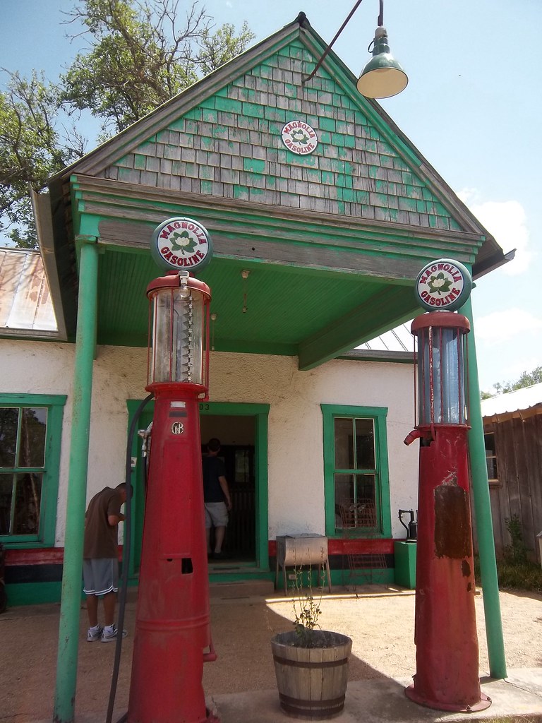
  7. Buffalo Gap Vintage Texaco Staion 5, Buffalo Gap, Texas · fables98 · CC BY-NC-SA 2.0 · Flickr

Austin

  1. Austin from Lady Bird Lake Austin Skyline and Lady Bird Lake · Katie Haugland Bowen · CC BY 2.0 · Flickr
  2. Barton Springs Pool Austin - Zilker Metropolitan Park: Barton Springs Pool · wallyg · CC BY-NC-ND 2.0 · Flickr
  3. Congress Avenue Bridge Congress Avenue Bridge · StuSeeger · CC BY 2.0 · Flickr
  4. Congress Avenue and the Capitol Austin, Texas · Patrick Gensel · CC BY-NC-SA 2.0 · Flickr
  5. Sunset from Mount Bonnell Sunset, Mount Bonnell, Austin · Second-Half Travels · CC BY-NC 2.0 · Flickr
  6. Austin at twilight Austin at twilight · Definitive HDR Photography · CC BY-NC-SA 2.0 · Flickr
  7. The line at Franklin Barbecue Franklin Barbecue Austin About to Open · Larry D. Moore · CC BY-SA 4.0 · Wikimedia Commons
  8. Brisket Austin - East Austin: Franklin Barbecue - Brisket · wallyg · CC BY-NC-ND 2.0 · Flickr
  9. Enchanted Rock summit trail Summit Trail Enchanted Rock SNA Texas 2023.jpg · Larry D. Moore · CC BY 4.0 · Wikimedia Commons

Houston — ship the car, fly home

  1. The skyline from Buffalo Bayou Downtown Houston ~ Bayou Blues · telwink · CC BY-NC-ND 2.0 · Flickr
  2. Kayaks on Buffalo Bayou Houston Skyline from Buffalo Bayou, above Jensen 1120101115 · Patrick Feller · CC BY 2.0 · Flickr
  3. The Waterwall waterwall(4) · mRio · CC BY 2.0 · Flickr
  4. Montrose murals Houston - Montrose: Sacred Heart Studio mural · wallyg · CC BY-NC-ND 2.0 · Flickr